What is recorded here
In pasture, on top of a N–S ridge on which a rath (SL019-056001-) is located. A series of field banks traverse the contours of the ridge. Immediately to N of the rath, a low sod-covered field bank enclosures a roughly subrectangular area (c. 35m E–W; c. 45m N–S) which encompasses level ground on top of the ridge, and merges at its S end with the external bank of the rath. Remnants of a field bank also appear to enclose a level area on top of the S end of the ridge c. 250m S of the rath.
Compiled by: Patrick F. O'Donovan
Date of upload: 19 January 2011
The monument record does not grant public access. Check the route and ask the landowner before entering private land.
- What survives
- Recorded monument
Places near here
 IndicatedEnclosure · 234 yd
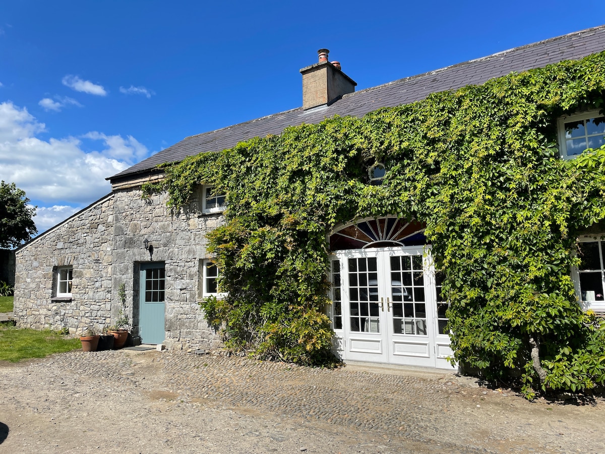 Enclosure in Tanrego WestEnclosure · 573 yd
 Carrowgarry Househouse · 594 yd
 Bawn in Tanrego WestBawn · 710 yd
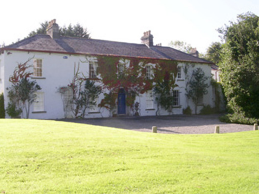 Tanrego Househouse · 817 yd
 Lahanacappul IslandIslet · 1567 yd
 Ballinlig PointHeadland · 1.0 mi
 Giant's GraveArchaeological place · 1.1 mi
 Portavaud PointHeadland · 1.2 mi
 CastleCastle, ringwork · 1.2 mi
 CulleenamoreBeach / strand · 1.9 mi
 European ashEuropean ash · 2.0 mi