What is recorded here
Situated on slight N-facing slope in gently undulating pasture to the N of Sheeanmore Hill. Field system is shown on the 1913 edition of the OS 6-inch map as a series of curving field boundaries. Two elements of the field system are most prominent. The first is a relic N-S orientated gently meandering boundary (L c. 250m) consisting of an earth and stone bank (Wth 3.2m; H 0.3m-0.5m) with a slight fosse/drain (Wth 0.5m; D 0.3m) on the E side. At the S end of this boundary, a series of E-W orientated boundaries are indicated on the OS 6-inch map but these have been levelled and are not visible at ground level. The second prominent element is a curving E-W orientated boundary (L 60m) linking to the W side of the main N-S boundary consisting of a relic low earthen bank (Wth 2.5m; H 0.3m) that lies on the top of a slight N facing natural scarp. The field system extends south into the archaeological complex on Sheeanmore hill (SL013:012002-; SL013-012003- and SL013-012004-).
Attached image: SL013-111----_01.JPG field bank
Compiled by: Mark Keegan
Date of upload: 19 January 2011
The monument record does not grant public access. Check the route and ask the landowner before entering private land.
- What survives
- Recorded monument
Places near here
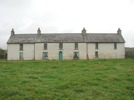 Toberpatrick Lodgehouse · 542 yd
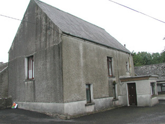 Stand Househouse · 872 yd
 CastleCastle, Anglo-Norman masonry castle · 1051 yd
 Enclosure in ArdabroneEnclosure · 1119 yd
 IndicatedFairy fort / earthen ringfort · 1683 yd
 Dunmoran StrandBeach / strand · 1749 yd
 Bawn in CarrowbrickeenBawn · 1.7 mi
 Aughris BeachBeach / strand · 1.9 mi
 Derkmore PointHeadland · 2.0 mi
 Sligo BayBay · 2.7 mi
 Giant's GraveArchaeological place · 3.2 mi
 Lahanacappul IslandIslet · 3.4 mi