What is recorded here
Situated on N and NE upper slopes of Sheeanmore Hill in gently undulating pasture. Three relic boundaries form a roughly triangular area (each side measures c. 60m in length). The relic boundaries consist of earth and stone banks (Wth 3m-3.5m; H 0.3-0.6m). This is part of a more extensive field system (SL013-111----) that extends to the N of Sheeanmore Hill
Attached images:
SL013-012004-_01.JPG field bank
SL013-012004-_02.JPG field bank
Compiled by: Mark Keegan
Date of upload: 19 January 2011
The monument record does not grant public access. Check the route and ask the landowner before entering private land.
- What survives
- Recorded monument
Places near here
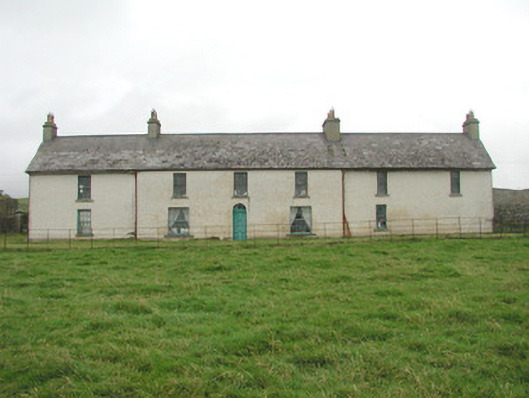 Toberpatrick Lodgehouse · 517 yd
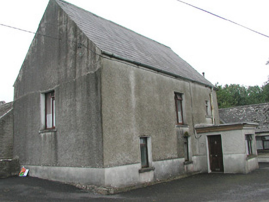 Stand Househouse · 582 yd
 CastleCastle, Anglo-Norman masonry castle · 721 yd
 Enclosure in ArdabroneEnclosure · 766 yd
 CaveMan-made underground passage · 1341 yd
 Dunmoran StrandBeach / strand · 1.1 mi
 Bawn in CarrowbrickeenBawn · 1.6 mi
 Derkmore PointHeadland · 2.0 mi
 Aughris BeachBeach / strand · 2.0 mi
 Sligo BayBay · 2.8 mi
 Giant's GraveArchaeological place · 3.0 mi
 Lahanacappul IslandIslet · 3.2 mi