What is recorded here
In low-lying pastureland in the immediate vicinity of Ross Errilly friary (GA041-047----). Aerial reconnaissance (CUCAP AYO 11; ASGAP 349:3-4) in 1969 and again in 1986 showed a pattern of roughly rectangular fields, defined by earthen banks, covering an area 280m NE-SW by 130m NW-SE. Traces of cultivation ridges were clearly visible within them. In 1969, a substantial bank and fosse were visible along its E and S limits but these had been partially removed by 1986. This may be part of 'the enclosing wall and ditch [of the monastery]' referred to by Cochrane (1901, 335-6), though its line runs well inside the position of the gatehouse (GA041-047001-).
The above description is derived from the published 'Archaeological Inventory of County Galway Vol. II - North Galway'. Compiled by Olive Alcock, Kathy de hÓra and Paul Gosling (Dublin: Stationery Office, 1999).
Date of upload: 05 August 2010
The monument record does not grant public access. Check the route and ask the landowner before entering private land.
- What survives
- Recorded monument
Places near here
 Font in Ross (clare By.)Font · 1 yd
 Ross Errilly FriaryHeritage attraction · 11 yd
 IndicatedCauseway · 172 yd
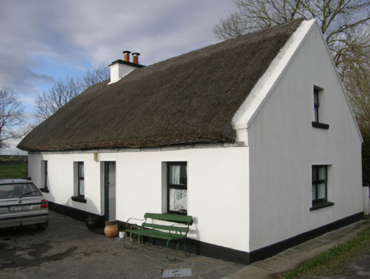 Aurora Cottagehouse · 893 yd
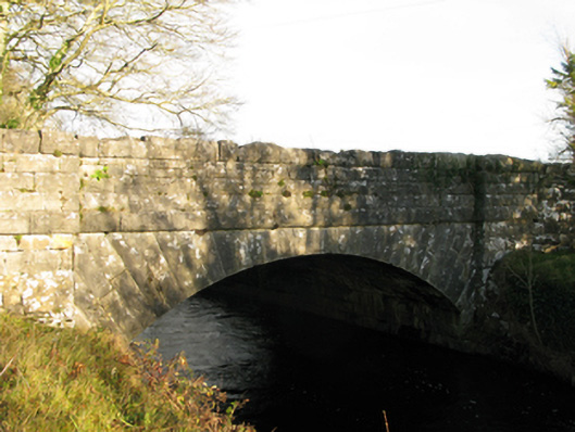 Moyne Bridgebridge · 1115 yd
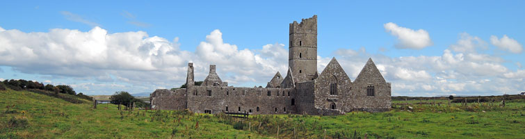 Tower; Proposed site of Ross AbbeyCastle, unclassified · 1292 yd
 Moyne CastleCastle · 1357 yd
 BallynacreggaWood · 2.8 mi
 Otter IslandIslet · 3.9 mi
 Camillaun IslandIslet · 4.2 mi
 Cregg PlantationForest · 4.3 mi
 Kilcoona Round TowerHeritage attraction · 4.8 mi