What is recorded here
Four rectangular fields still mark the low pasture beside Ross Errilly friary, their earthen banks and cultivation ridges visible from above. A tall bank and ditch once guarded the east and south edges, though ploughs and time have worn much of that boundary away. The fields may belong to the monastery itself, yet they sit inside the gatehouse line, suggesting a smaller, older enclosure hidden beneath the friary’s shadow.
In low-lying pastureland in the immediate vicinity of Ross Errilly friary (GA041-047----). Aerial reconnaissance (CUCAP AYO 11; ASGAP 349:3-4) in 1969 and again in 1986 showed a pattern of roughly rectangular fields, defined by earthen banks, covering an area 280m NE-SW by 130m NW-SE. Traces of cultivation ridges were clearly visible within them. In 1969, a substantial bank and fosse were visible along its E and S limits but these had been partially removed by 1986. This may be part of 'the enclosing wall and ditch [of the monastery]' referred to by Cochrane (1901, 335-6), though its line runs well inside the position of the gatehouse (GA041-047001-).
The above description is derived from the published 'Archaeological Inventory of County Galway Vol. II - North Galway'. Compiled by Olive Alcock, Kathy de hÓra and Paul Gosling (Dublin: Stationery Office, 1999).
Date of upload: 05 August 2010
The monument record does not grant public access. Check the route and ask the landowner before entering private land.
- What survives
- Recorded monument
Places near here
 Font in Ross (clare By.)Font · 1 yd
 Ross Errilly FriaryHeritage attraction · 11 yd
 IndicatedCauseway · 172 yd
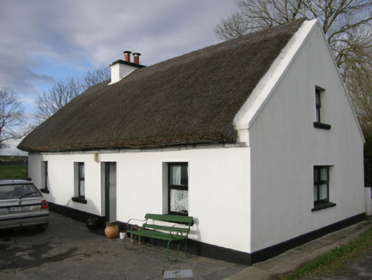 Aurora Cottagehouse · 893 yd
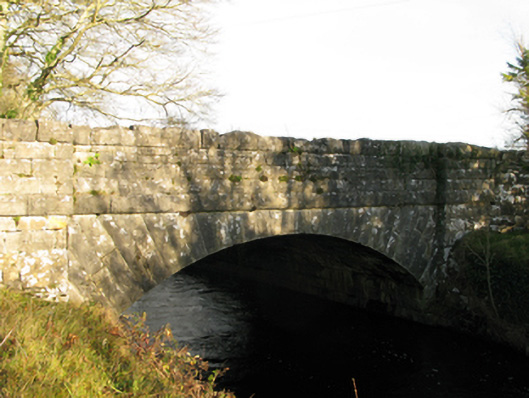 Moyne Bridgebridge · 1115 yd
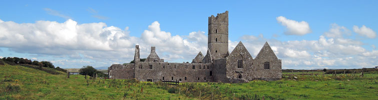 Tower; Proposed site of Ross AbbeyCastle, unclassified · 1292 yd
 Moyne CastleCastle · 1357 yd
 BallynacreggaWood · 2.8 mi
 Otter IslandIslet · 3.9 mi
 Camillaun IslandIslet · 4.2 mi
 Cregg PlantationForest · 4.3 mi
 Kilcoona Round TowerHeritage attraction · 4.8 mi