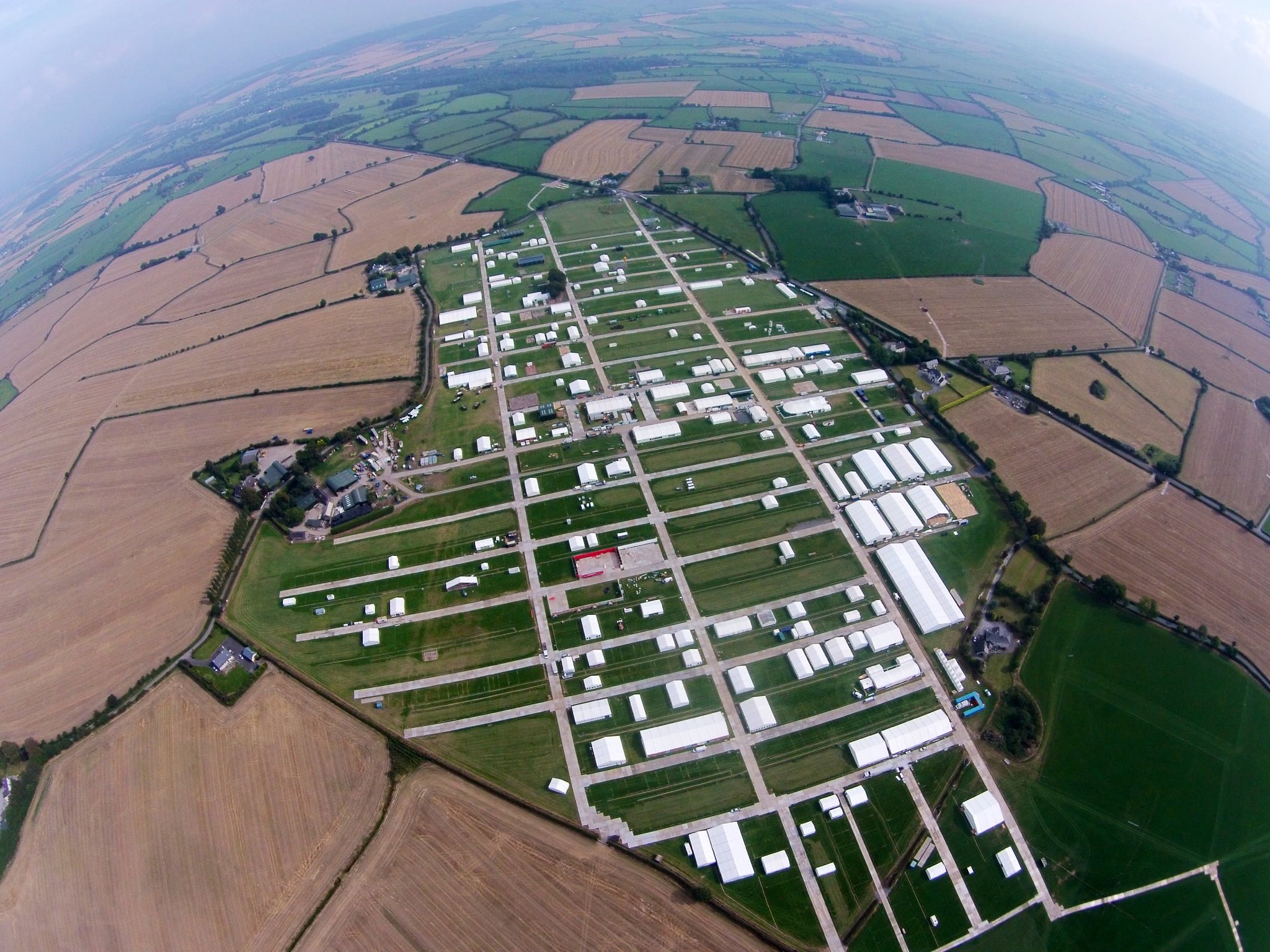
What is recorded here
Located on a broad but low N-S ridge. The cropmarks of field boundaries and a road system covering about 25 acres (c. 10 ha) is visible on aerial photographs (MM (5) 30-36; (7) 0-4). Seven ring-ditches, a rectangular enclosure site (WX047-126001-) and a cricular enclosure (WX047-126008-) are also within the field system.
The above description is derived from the published 'Archaeological Inventory of County Wexford' (Dublin: Stationery Office, 1996). In certain instances the entries have been revised and updated in the light of recent research.
Compiled by: Michael Moore
Date of upload/revision: 18 October, 2013
The monument record does not grant public access. Check the route and ask the landowner before entering private land.
- What survives
- Recorded monument
Places near here
 Enclosure in RingaheenEnclosure · 254 yd
 farm housefarm house · 1004 yd
 Enclosure in BallycoglyEnclosure · 1347 yd
 bridgebridge · 1362 yd
 Ballyrane Castle (in ruins)Castle, tower house · 1669 yd
 CastleCastle, tower house · 1746 yd
 The Heron's MeadowForest · 2.5 mi
 Johnstown Castle Visitor CentreHeritage attraction · 2.6 mi
 Irish Agricultural MuseumMuseum · 2.6 mi
 The Bull RockForest · 2.6 mi
 1798 Memorial PlaqueMemorial · 3.1 mi
 The HamBay · 3.9 mi
Other information
Photo: Credit not shown in the picture search · Rights wording not checked; contact us if this picture should be removed