What is recorded here
Thirty-five acres of faint lines still cross Rathmore South pasture, marking a forgotten grid that once shaped local life. One boundary survives in the modern field system while the rest waits beneath grass and rain. The ringfort sits within the southern half, suggesting the grid served more than passive ownership.
In low-lying pasture, cut by land drains and watercourses and bound by a townland boundary with Dunkip along the S boundary. Ringfort (LI031-025002-) is within the S half. Subrectangular-shaped area (14ha/35 acres) containing linear-shaped cropmarks, some intersecting at right angles to form a field pattern. Identified by 1:10,000 Bord Gais Eireann aerial photographs (No. 36) and on Archaeological Survey of Ireland aerial photographs (ASIAP 308, 32; 329, 6) taken 13/09/2002 and 05/10/2002) as a series of intersecting linear cropmarks in the vicinity of ringfort (LI031-025002-); one field still remains part of the modern field system. Monument is visible as a series of faint linear-shaped cropmarks on OSi aerial orthoimage taken 2005-2012 and on Digital Globe aerial orthoimage taken 2011-2013, although these are not evident on Google Earth orthoimage taken 28/06/2018.
See attached Google Earth orthoimage, Bord Gais Eireann aerial photo and ASIAP.
Compiled by: Alison McQueen and Vera Rahilly
Date of upload: 2 November 2020
The monument record does not grant public access. Check the route and ask the landowner before entering private land.
- What survives
- Recorded monument
Places near here
 Hearth in Rathmore SouthHearth · 726 yd
 Gray's Bridgebridge · 801 yd
 Bawn in Rathmore NorthBawn · 1009 yd
 Mound in Rathmore SouthMound · 1027 yd
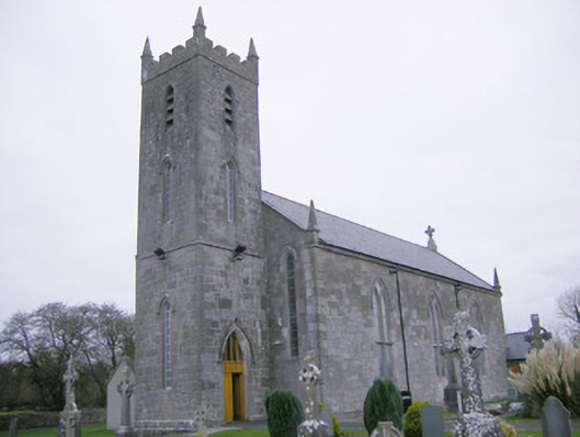 Saint Mary's Catholic Churchchurch/chapel · 1727 yd
 Glenogra Castle (in ruins)Castle, Anglo-Norman masonry castle · 1.3 mi
 Monasteranenagh AbbeyHeritage attraction · 1.4 mi
 European ashEuropean ash · 2.2 mi
 Villiers WellSpring · 3.6 mi
 Lough GurVisitor information · 3.7 mi
 Biodiversity in the Maigue CatchmentVisitor information · 3.7 mi
 Skool HillMountain / peak · 4.0 mi