What is recorded here
Portan holds five acres of raised platforms and cutting drains where human hands shaped the flat earth long before modern roads. One corner preserves a rectangular house site beside a pond, suggesting someone lived among the fields rather than above them. The ordinary landscape still carries the shape of that lost routine.
Situated on a fairly level landscape. A small circular embanked enclosure described as a ‘Fort’ is depicted on the 1836 edition of the OS 6-inch map and a hachured feature is represented on the 1908 edition. An area of about 5 acres (c. 2 ha) has elements of a relict field system consisting of platforms (dims c. 27m x c. 14m to c. 50m x c. 25m) defined by scarps (max. H 1m) separated by wide channels or drains (Wth 2-5m; D 0.3-1m) with two small ponds amongst them. One possible house site is visible as a rectangular area (dims 8m NW-SE; 5m NE-SW) defined by low earthen banks (Wth 2m; H 0.3m) but it is open on the SE side. This feature is located at a corner of one of the platforms and close to a pond.Archaeological testing (21E0414) by L. Clarke against the road at the W corner of the archaeological area recorded four field drains and a wide ENE-WSW ditch (Wth 2-2.2m; D 0.51m) which is interpreted as a cultivation ridge, but which is more likely to be a drainage ditch (excavations.ie2021:123).
The above description is derived from the published 'Archaeological Inventory of County Meath' (Dublin: Stationery Office, 1987). In certain instances the entries have been revised and updated in the light of recent research.
Compiled by: Michael Moore
Date of upload: 10 July 2007
Amended: 22 November 2021
The monument record does not grant public access. Check the route and ask the landowner before entering private land.
- What survives
- Recorded monument
Places near here
 Lismahon 1798 MemorialMonument · 842 yd
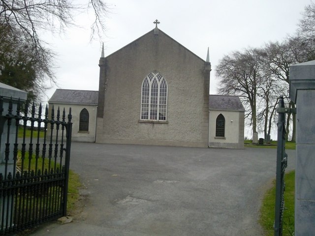 Catholic Church of the Assumptionchurch/chapel · 869 yd
 Font in RathreganFont · 882 yd
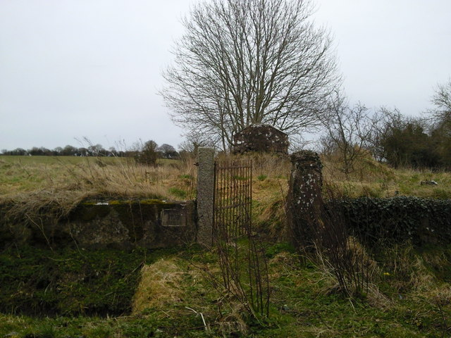 RuinChurch · 1212 yd
 Regan's RathArchaeological place · 1252 yd
 Site of Old CastleCastle, unclassified · 1.8 mi
 1798 MemorialMemorial · 3.2 mi
 MullaghMountain / peak · 3.6 mi
 Mulhussy CastleCastle, tower house · 3.9 mi
 Hanwood GardensHeritage attraction · 4.3 mi
 Ash HillMountain / peak · 4.5 mi
 Caulstown Christmas Tree FarmForest · 4.7 mi