What is recorded here
Aerial photograph (GB96.GC.08) shows cropmark of an incomplete curvilinear enclosure (CW002-020001-) defined by a fosse; a linear fosse extends to the north-west and may represent an associated field system.
Compiled by: Dr. Gillian Barrett for the Archaeological Survey of Ireland
Date of upload: 31 January 2012
The monument record does not grant public access. Check the route and ask the landowner before entering private land.
- What survives
- Recorded monument
Places near here
 Enclosure in Oakpark OR PainestownEnclosure · 66 yd
 Oak Park Housedemesne walls/gates/railings · 931 yd
 White willowWhite willow · 1226 yd
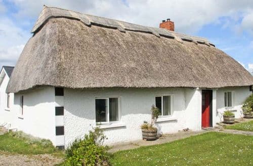 Enclosure in StrawhallEnclosure · 1232 yd
 Oak Park Forest ParkWood · 1254 yd
 Church (in ruins), GraveyardChurch · 1753 yd
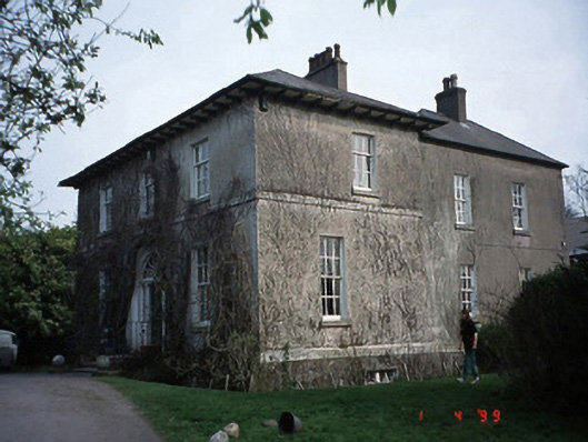 Evington Househouse · 1.1 mi
 VISUAL Centre for Contemporary ArtGallery · 1.5 mi
 Carlow County MuseumMuseum · 1.6 mi
 CastleCastle, Anglo-Norman masonry castle · 1.8 mi
 Castle (in ruins)Castle, tower house · 2.1 mi
 ProclamationMemorial · 4.5 mi