What is recorded here
Visible on a aerial photograph (GB89.AF.36) as the cropmarks of linear fosses extending from an enclosure (KD032-042----) and suggesting an associated field system. The aerial photo also shows the cropmark of a second, smaller enclosure (KD032-042002-) c. 40m to the NW.
Compiled by: Gillian Barrett
Date of upload: 07 November 2013
The monument record does not grant public access. Check the route and ask the landowner before entering private land.
- What survives
- Recorded monument
Places near here
 IndicatedEnclosure · 4 yd
 Enclosure in Narraghmore DemesneEnclosure · 88 yd
 Narraghmore WoodWood · 911 yd
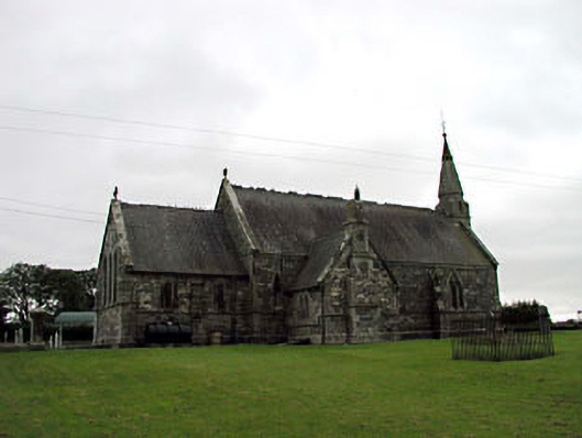 Church of the Holy Saviour (Narraghmore)church/chapel · 912 yd
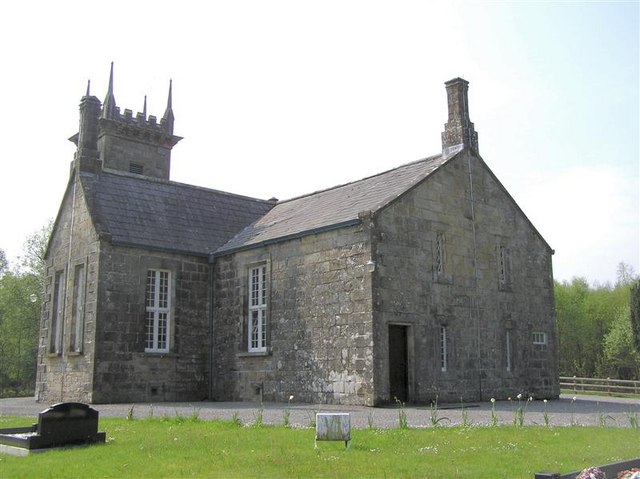 Church in Narraghmore DemesneChurch · 923 yd
 CrookanurnWood · 1197 yd
 Blackhall CastleCastle, tower house · 2.4 mi
 CastleCastle, unclassified · 2.6 mi
 Battle of Kilrushbattle · 2.6 mi
 Burtown House and GardensHeritage attraction · 3.0 mi
 Gorden Bennet Race memorialMemorial · 3.7 mi
 History of Moat of ArdscullVisitor information · 3.7 mi