What is recorded here
At the N foot of a long, gentle pasture slope, immediately W of a tower house (KD017-021----) and an unclassified building (KD017-035----) c. 75m to its N. A large rectangular area (dims. L c. 350m E-W; Wth c. 150m) is defined by a main, broad, low earthen bank (Wth 4-7m; H 0.2-0.4m) along its N side, off which similar, shorter banks, run perpendicularly to the S to form a series of small rectangular fields (av. dims. L c. 40m; Wth c. 20m). (CUCAP BDU 16, 17: 1970).
Compiled by: Gearóid Conroy
Date of upload: 10 June 2011
The monument record does not grant public access. Check the route and ask the landowner before entering private land.
- What survives
- Recorded monument
Places near here
 Offaly CastleCastle, tower house · 206 yd
 Enclosure in MountprospectEnclosure · 397 yd
 Burial in Kilnantoge UpperBurial · 940 yd
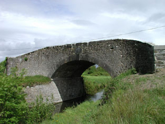 Wilson's Bridgebridge · 1046 yd
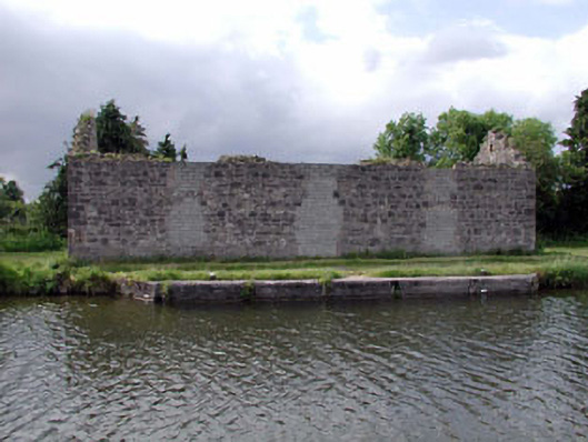 store/warehousestore/warehouse · 1377 yd
 Site of CastleCastle, tower house · 1641 yd
 Community OrchardNature reserve · 1753 yd
 Bithia Mary CrokerMemorial · 1.2 mi
 Killinthomas Wood (Rathangan)Wood · 2.4 mi
 Sli na Slainte - mapVisitor information · 4.7 mi
 The Fairy BowerHeritage attraction · 5.0 mi
 Lullymore Heritage ParkHeritage attraction · 5.0 mi