What is recorded here
A number of intercutting NE-SW ditches extend up the slope for Site 3 to Site 2 and turn NW at the summit of the col between the ring-ditch (ME025-083----) to the W and the motte (ME025-023001-) to the E. In places there are up to five cuts of this feature and it is unconnected with the major NNE-SSW boundary ditch (ME025-082----), although closely contemporary. Samples from earlier and later iterations of this ditch at the base of the slope in Site 3 provide C14 dates of 570-649 cal. AD (UBA-9921) and 666-782 cal. AD (UBA-9920) respectively. Lighter NW-SE features that stop short of the major drains are furrows and it is possible that that these boundaries were in use for a long period. (Halliday 2009, 46-58)
See the attached plan from Halliday (2009, fig. 25)
Compiled by: Michael Moore
Date of upload: 5 April, 2023
Halliday, S. 2009 Navan Inner Relief Road Scheme, Sites 2 & 3. Licence: 06E0024. Final Excavation Report, Unpublished, Arch Tech
The monument record does not grant public access. Check the route and ask the landowner before entering private land.
- What survives
- Recorded monument
Places near here
 Enclosure in MoathillEnclosure · 91 yd
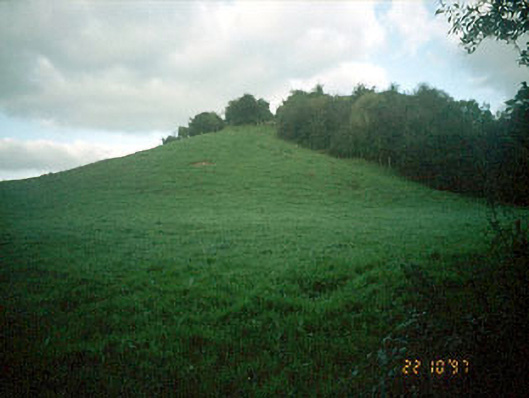 Navan MoatOfficially recorded historic building · 108 yd
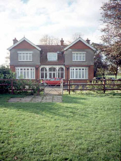 Mount Rivershouse · 237 yd
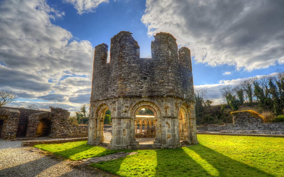 Burnt spread in Abbeyland SouthBurnt spread · 1078 yd
 The RampartWood · 1578 yd
 Nangle CourtMemorial · 1637 yd
 CastleCastle, motte · 1.0 mi
 Rathaldron Ho.Castle, tower house · 1.3 mi
 Blackcastle DemesneWood · 2.0 mi
 Donaghmore Round TowerHeritage attraction · 2.0 mi
 BohermeenMountain / peak · 3.0 mi
 Carn HillMountain / peak · 3.2 mi