
What is recorded here
Mystery field systems in Mitchelstowndown North and Knocklong East. They hide beneath wet pasture, waiting for rain or drought to reveal their lines. People may have farmed there before maps existed, shaping soil and water with patient hands. The land keeps their labour hidden, releasing only shadows when conditions change.
In reclaimed wet pasture, 120m S of watercourse that forms townland boundary with Knocklong East. Not marked on OSi historic maps. Identified as an earthwork complex or a possible field with a settlement system on Bórd Gáis Éireann Curraleigh West-Limerick gas pipeline aerial photographs (BGE 1/5000 2572; Strip Map 4, Site 4/17) taken 03/11/1984. Linear cropmarks visible on OSi orthophotograph taken between 2005-12 and on Google Earth orthoimage. No clear house platforms or evidence of any settlement earthworks on aerial images.
See attached BGE aerial photograph (Strip Map 4 Site 4/17) and Google Earth orthoimages.
Compiled by: Fiona Rooney
Date of upload: 23 June 2021
The monument record does not grant public access. Check the route and ask the landowner before entering private land.
- What survives
- Recorded monument
Places near here
 Field system in Knocklong EastField system · 284 yd
 Fulacht fia in Mitchelstowndown NorthFulacht fia · 713 yd
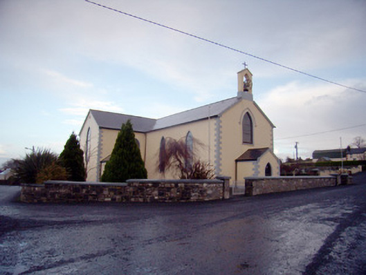 Saint Joseph's Catholic Churchchurch/chapel · 1071 yd
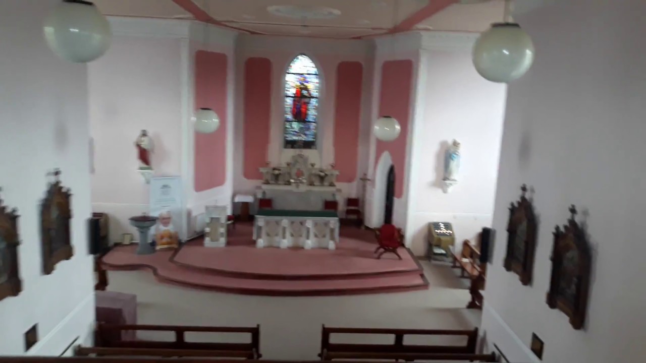 Church (in Ruins)Church · 1241 yd
 Edmund's WellSpring · 1277 yd
 Castle (in ruins)Castle, tower house · 1320 yd
 St Patrick's WellSpring · 1370 yd
 Ryves CastleCastle, unclassified · 1.7 mi
 Ballinvreena LoopVisitor information · 2.2 mi
 SlievereaghMountain / peak · 2.8 mi
 Darby's Bed Walk LoopWalking route · 3.8 mi
 Duntryleague HillMountain / peak · 3.8 mi
Other information
Photo: Credit not shown in the picture search · Rights wording not checked; contact us if this picture should be removed