What is recorded here
In reclaimed pasture 80m N of the townland boundary with Mitchelstowndown West. Not marked on the historic OSi maps. Excavated in 1986 by Margaret Gowen (1988, 180) during works associated with the gas pipeline (BGE Ref. 2/20/2). No surface remains visible on Google Earth orthoimages.
Compiled by: Martin Fitzpatrick
Date of upload: 29 September 2021
The monument record does not grant public access. Check the route and ask the landowner before entering private land.
- What survives
- Recorded monument
Places near here
 Fulacht fia in Mitchelstowndown WestFulacht fia · 462 yd
 Field system in Mitchelstowndown NorthField system · 713 yd
 RoadRoad, road/trackway · 872 yd
 Edmund's WellSpring · 998 yd
 Saint Patrick's WellSpring · 1578 yd
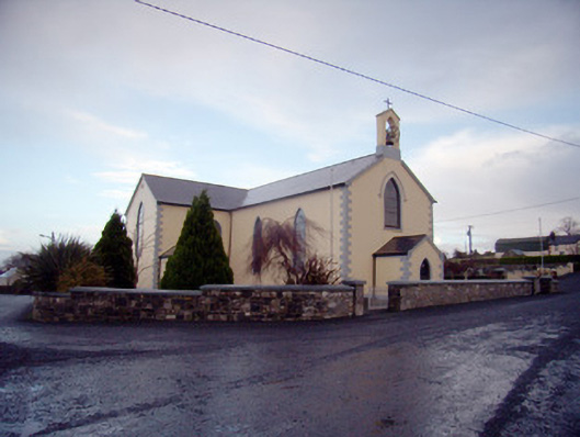 Saint Joseph's Catholic Churchchurch/chapel · 1698 yd
 Castle (in ruins)Castle, tower house · 1.0 mi
 Ryves CastleCastle, unclassified · 1.6 mi
 Ballinvreena LoopVisitor information · 2.1 mi
 SlievereaghMountain / peak · 2.5 mi
 Palatine's RockNamed rock · 4.2 mi
 Ballyhoura WayWalking route · 4.4 mi
Other information
Photo: Credit not shown in the picture search · Rights wording not checked; contact us if this picture should be removed