What is recorded here
Located on a fairly level landscape with a canalised N-S stream just to the E but with higher ground to the E and W. A field system covering about 15 acres (c. 6 Ha) is visible as cropmarks on aerial photograph (CUCAP: BDK 12). Small irregular fields (dims c. 40m x c. 50m) are evident but they are overlaid by cultivation ridges. They do not appear on any other aerial images.
The above description is derived from the published 'Archaeological Inventory of County Meath' (Dublin: Stationery Office, 1987). In certain instances the entries have been revised and updated in the light of recent research.
Compiled by: Michael Moore
Date of revision: 27 August 2019
The monument record does not grant public access. Check the route and ask the landowner before entering private land.
- What survives
- Recorded monument
Places near here
 Enclosure in MulhusseyEnclosure · 856 yd
 Larchil Arcadian GardensHeritage attraction · 1168 yd
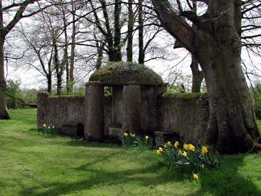 Larchill Housefolly · 1374 yd
 Mulhussy CastleCastle, tower house · 1411 yd
 1798 MemorialMemorial · 1.0 mi
 MullaghMountain / peak · 1.1 mi
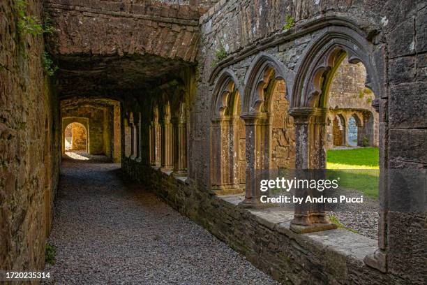 Brides WellHoly well · 1.3 mi
 Rodanstown fortCastle, motte · 1.6 mi
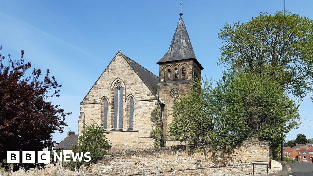 Church (Disused)Church · 1.9 mi
 Kilgar GardensHeritage attraction · 2.8 mi
 Saint Oliver Plunkett 1625-1681Memorial · 3.0 mi
 European ashEuropean ash · 4.4 mi