What is recorded here
In undulating grassland. Aerial reconnaissance in July 1967 (CUCAP ATF 53) brought to light a series of very poorly preserved low earthen field boundaries, forming no coherent pattern. They cover an area c. 450m NE-SW by c. 250m NW-SE.
The above description is derived from the published 'Archaeological Inventory of County Galway Vol. II - North Galway'. Compiled by Olive Alcock, Kathy de hÓra and Paul Gosling (Dublin: Stationery Office, 1999).
Date of upload: 05 August 2010
The monument record does not grant public access. Check the route and ask the landowner before entering private land.
- What survives
- Recorded monument
Places near here
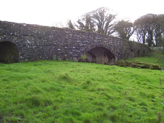 Liskeevy Bridgebridge · 453 yd
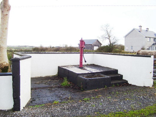 water pumpwater pump · 592 yd
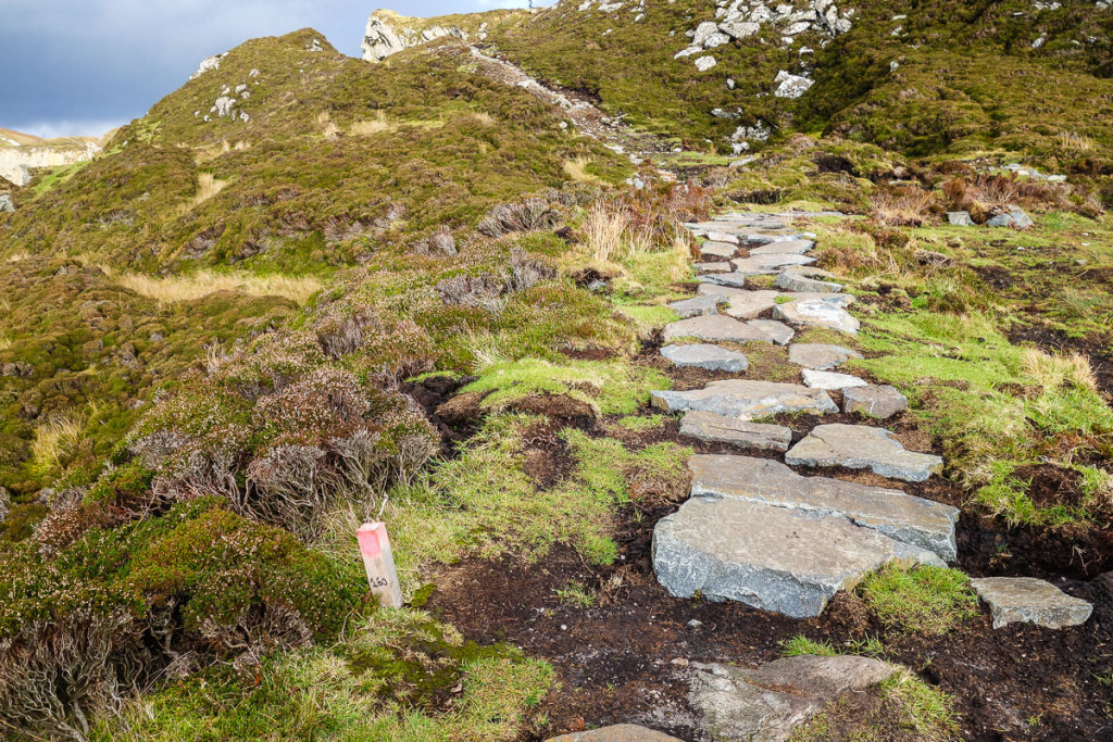 Mass-rock in LiskeevyMass-rock · 1376 yd
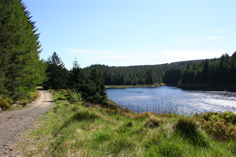 Structure in BanagherStructure · 1.1 mi
 Fartamore Castle (ruins)Castle · 1.3 mi
 Fartamore Castle in ruinsCastle, tower house · 1.3 mi
 European ashEuropean ash · 4.0 mi
 Mass RockNamed rock · 4.7 mi
 KnockmaaWood · 8.1 mi
 Ross Errilly FriaryHeritage attraction · 12 mi
 Otter IslandIslet · 15 mi
 Inis Mhic an TrírIsland · 15 mi