What is recorded here
Levitstown holds a ghost farm where a circular fortress touched a rectangular field, both drawn in soil rather than stone. The circular part measures thirty-five metres across, while the rectangular part stretches forty metres north-south and thirty metres east-west. A person may have lived inside the circle and worked the longer field beside it, moving between home and harvest without leaving the same small world.
Aerial photographs (CUCAP BOC 71, BGN 45, BGN 49) show a cropmark of a fosse defining circular area (KD037-041001-) (diam. c. 35m). Cropmark of a fosse of large rectangular field (KD037-041002-) at the E (est. dims c. 40m N-S x 30m E-W). Probably a ringfort with an attached field.
Date of upload: 15 September 2016
The monument record does not grant public access. Check the route and ask the landowner before entering private land.
- What survives
- Recorded monument
Places near here
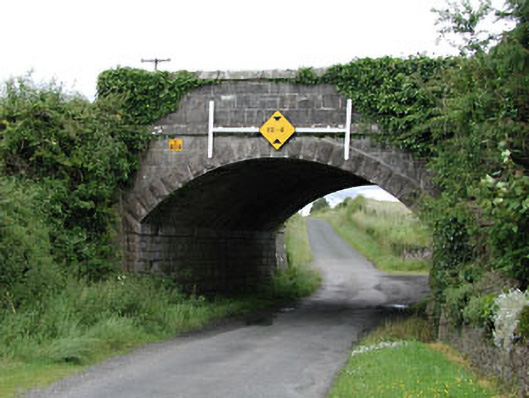 bridgebridge · 407 yd
 Enclosure in Levitstown (dunmanoge Ed)Enclosure · 561 yd
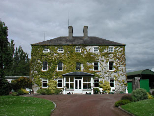 Levitstown Housefarm house · 974 yd
 Enclosure in Castleroe WestEnclosure · 1.1 mi
 CastleCastle, tower house · 1.1 mi
 Dollardstown WoodForest · 1.9 mi
 Castle in ruinsCastle, unclassified · 2.0 mi
 Lorcán Ó TuathailMemorial · 2.4 mi
 Mullaghreelan WoodForest · 2.6 mi
 ProclamationMemorial · 3.8 mi
 Franciscan FriaryHeritage attraction · 4.0 mi
 Castledermot Round TowerHeritage attraction · 4.1 mi