What is recorded here
The ancient field system stretches across the Burren, Legalough, Manragh Upper and Tawnymakelly in County Cavan, weaving together megalithic tombs, rock-art, cup-marked stones, hut-sites and enclosures. It is not a scattered collection of ruins but one continuous landscape shaped by human hands across generations. The boundaries between townlands fade inside the fields, suggesting the land was lived as a single breathing place long before modern names divided it.
An extensive ancient field system covers much of the townland of the Burren and has been surveyed as extending beyond it into the adjoining townlands of Legalough, Manragh Upper and Tawnymakelly. The system includes within it a wide range of monument types including megalithic tombs, rock-art, cup-marked stones, hut-sites and enclosures (pers. comm. G. Burns and J. Nolan). (Burns and Nolan 2007)
Compiled by: Paul Walsh
Date of upload: 15 November 2012
The monument record does not grant public access. Check the route and ask the landowner before entering private land.
- What survives
- Recorded monument
Places near here
 IndicatedEnclosure · 100 yd
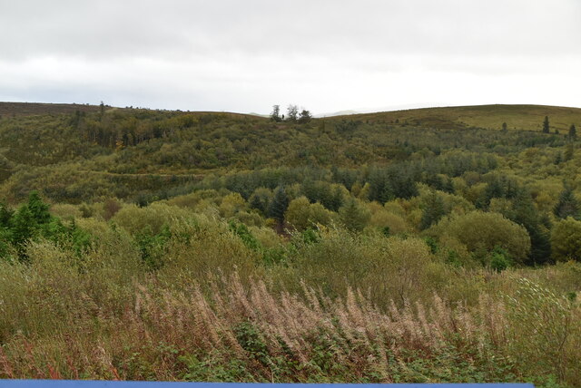 Cavan Burren ParkForest · 404 yd
 Rocking StoneArchaeological place · 424 yd
 Dolines/SinkholesCave · 463 yd
 Cavan BurrenHeritage attraction · 511 yd
 BurrenMountain / peak · 605 yd
 Boulder GraveyardArchaeological place · 713 yd
 Legnaveagh SinkholeCave · 974 yd
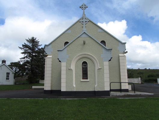 St Felim’s Roman Catholic Churchchurch/chapel · 1536 yd
 CullentraghMountain / peak · 1.1 mi
 Marlbank ViewpointViewpoint · 1.5 mi
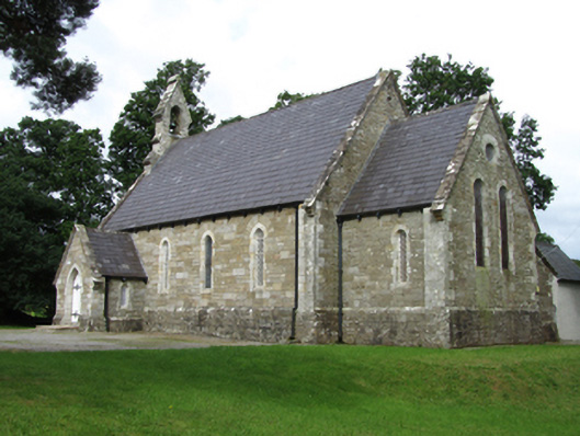 Killinagh Churchchurch/chapel · 2.0 mi