What is recorded here
Excavated in 2010 in advance of the N9/N10 Kilcullen to Waterford Road Improvement Scheme (Licence no. E2512). Two conjoined linear boundary ditches representing a medieval field system. An L-shaped drain, a shallow pit and a post-hole were also excavated. Three pottery sherds were found representing two vessels broadly dating to the 13th-14th century AD. The alignment of the linear features reflect the pattern of the surrounding field boundaries. (Channing 2009, 279, no. 1073; Channing 2010)
Compiled by: Mary Tunney
Date of upload: 22 October 2013
The monument record does not grant public access. Check the route and ask the landowner before entering private land.
- What survives
- Recorded monument
Places near here
 Knocklmoylan CastleCastle · 199 yd
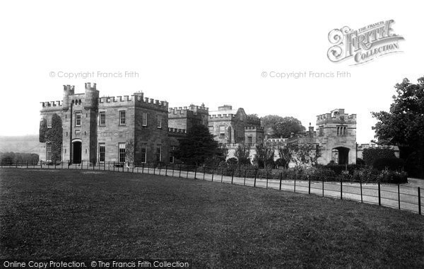 Killeen Ringfort (rath)Archaeological place · 1094 yd
 Crowbally Ringfort (rath)Archaeological place · 1199 yd
 bridgebridge · 1302 yd
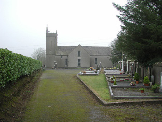 All Saints' Catholic Churchchurch/chapel · 1355 yd
 Crowbally Castle (Site of)Castle, unclassified · 1451 yd
 Thomas PhelanMemorial · 2.7 mi
 Graveyard in KilkeasyGraveyard · 2.7 mi
 Poulanassy WaterfallWaterfall · 2.9 mi
 Corbally WoodForest · 3.7 mi
 Clonassy WoodForest · 3.8 mi
 Tory HillMountain / peak · 4.9 mi