What is recorded here
On a gentle S-facing slope in an area of pastureland and outcropping rock. Aerial reconnaissance by Markus Casey revealed a series of low poorly defined intermittent grassed-over field banks covering an area c. 250m N-S by 150m E-W; no discernible pattern is obvious. Within the field system lie a cashel (GA082-097002-) with a possible house site (GA082-097005-), an enclosure (GA082-097003-) and another house site (GA0082-097004-). A possible trackway is visible to the N of the cashel. It is defined by two parallel lines of grassed-over stones c. 3.5m apart. It runs E-W for c. 50m.
Compiled by: Galway Archaeological Survey, UCG
Date of upload: 9 January 2018
The monument record does not grant public access. Check the route and ask the landowner before entering private land.
- What survives
- Recorded monument
Places near here
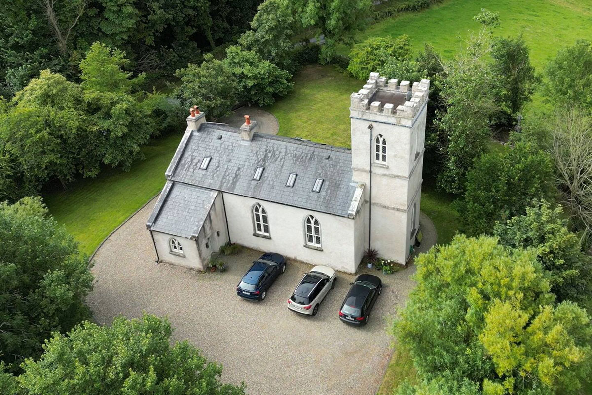 Enclosure in Kiltullagh (dunkellin By.)Enclosure · 50 yd
 Kiltullagh Castle (in ruins)Castle, tower house · 242 yd
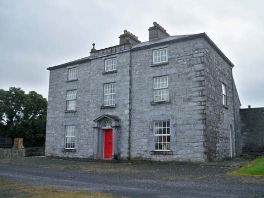 Rockwood Housecountry house · 1078 yd
 Killeen CastleCastle, tower house · 1116 yd
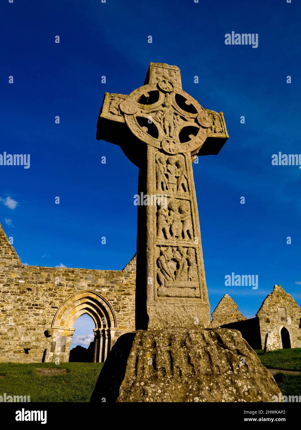 Enclosure in Cluain Mhic CáinínEnclosure · 1.1 mi
 Rocklawn Ho.Country house · 1.3 mi
 Aunteen WoodsWood · 2.9 mi
 Royal Tara Visitor CentreHeritage attraction · 3.1 mi
 Uncleen WoodsWood · 3.1 mi
 Ballyloughane BeachBeach / strand · 3.8 mi
 Rabbit IslandIslet · 4.0 mi
 Dead Mans BeachBeach / strand · 4.3 mi