What is recorded here
In pastureland on a N-facing slope. Originally identified during aerial reconnaissance in 1989. This subrectangular enclosure (30m E-W; 18m N-S) is defined by the remains of low bank of earth and stone (Wth 2.2m; int. H 0.18m; ext. H 0.3m) to the W, N and E and by traces of a levelled bank (Wth 4.4m; int. H 0.18m; ext. H 0.15m) on the S side. Short portions of a linear bank of similar dimensions extend for a further length of c. 4m from the NE and SE corners. Another linear bank (long axis c. N-S; L 21m) of similar dimensions is visible c. 13m to the E. A large D-shaped depression encloses the area to S. Recent ground disturbance had occurred within and around monument. Cloonacauneen Castle (GA082-029----) is c. 20m to the NW.
Compiled by: Olive Alcock
Date of upload: 10 November 2016
The monument record does not grant public access. Check the route and ask the landowner before entering private land.
- What survives
- Recorded monument
Places near here
 Cloonacauneen CastleCastle, tower house · 73 yd
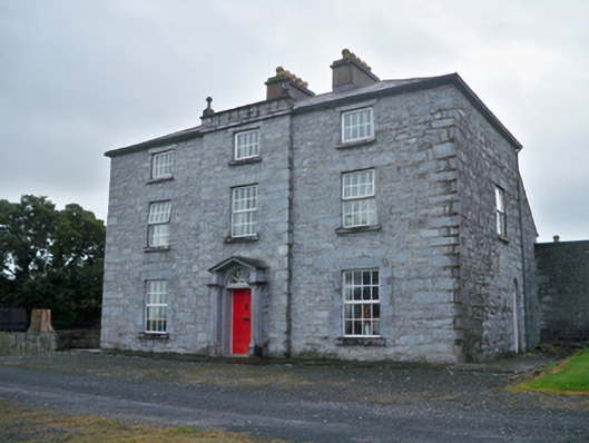 Rockwood Housecountry house · 1052 yd
 TobermacduaghHoly well · 1120 yd
 Rocklawn Ho.Country house · 1132 yd
 Killeen CastleCastle, tower house · 1333 yd
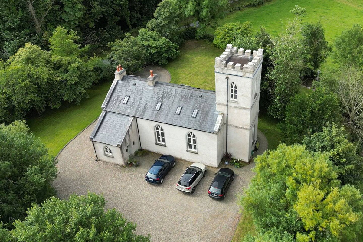 Enclosure in Kiltullagh (dunkellin By.)Enclosure · 1.2 mi
 Royal Tara Visitor CentreHeritage attraction · 2.9 mi
 Aunteen WoodsWood · 3.3 mi
 Uncleen WoodsWood · 3.4 mi
 Ballyloughane BeachBeach / strand · 3.9 mi
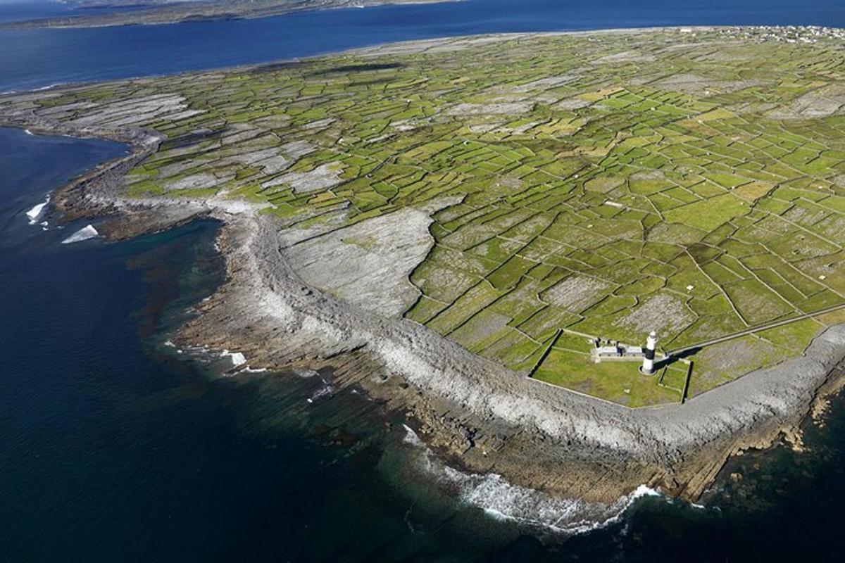 Jordan's IslandIslet · 3.9 mi
 126 Artist-Run GalleryGallery · 4.0 mi
Other information
Photo: Credit not shown in the picture search · Rights wording not checked; contact us if this picture should be removed