What is recorded here
Surrounding Killaclogher Castle (GA071-042----). An extensive series of small rectangular/square fields defined by flat-topped grassed-over earthen banks cover an area c. 450m N-S by c. 450m E-W. Modern field boundaries follow a similar alignment but do not overlie the earlier field banks. A large enclosure (GA071-002----), c. 150m to NW, may be associated.
The above description is derived from the published 'Archaeological Inventory of County Galway Vol. II - North Galway'. Compiled by Olive Alcock, Kathy de hÓra and Paul Gosling (Dublin: Stationery Office, 1999).
Date of upload: 05 August 2010
The monument record does not grant public access. Check the route and ask the landowner before entering private land.
- What survives
- Recorded monument
Places near here
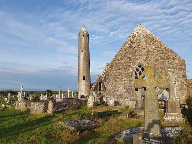 Killaclogher CastleCastle · 55 yd
 Enclosure in Ballynaboorkagh,killaclogherEnclosure · 354 yd
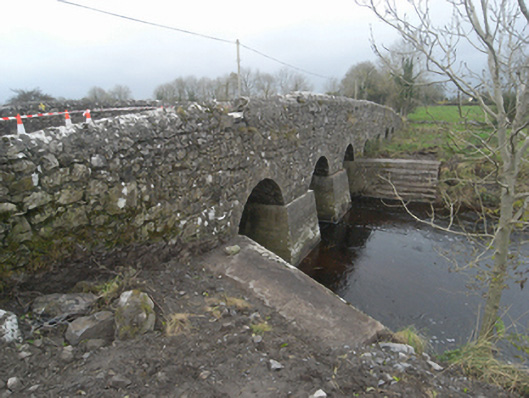 Killaclogher Bridgebridge · 1239 yd
 mill (wind)mill (wind) · 1282 yd
 Monivea CastleCastle · 1682 yd
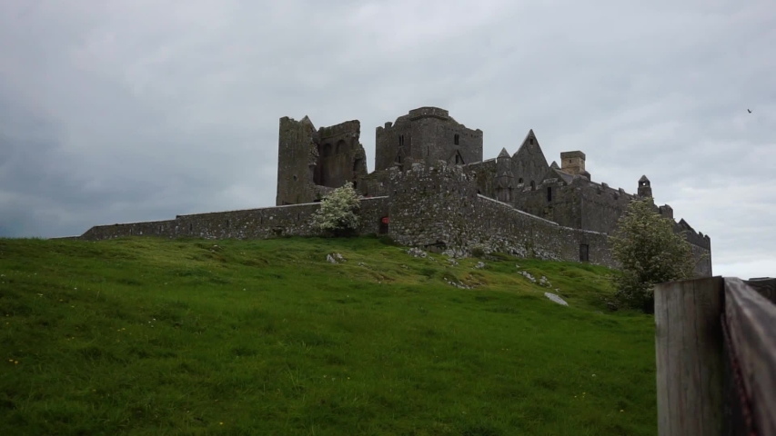 Settlement desertedSettlement deserted, medieval · 1.7 mi
 SycamoreSycamore · 4.1 mi
 Common WhitebeamCommon Whitebeam · 4.2 mi
 Knockmoy AbbeyHeritage attraction · 4.3 mi
 Menlough IRAMemorial · 4.9 mi
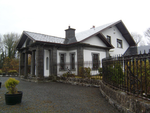 Ryehillgate lodge · 1678 yd
 Monivea Churchchurch/chapel · 1.4 mi