What is recorded here
Kilcahill held a forgotten landscape of irregular fields beside its ringfort, visible only when viewed from above before modern ploughing erased the banks. The discovery came through aerial photography rather than walking the land, reminding us that some histories resist human feet and reveal themselves only through distance and light. What disappeared was not merely soil but a lived world of boundaries, labour and belonging, now reduced to shadow in archived images.
Surrounding a ringfort (GA057-110001-) and an adjoining enclosure (GA057-110----). Aerial reconnaissance in 1968 (CUCAP AVM 100) and 1987 (ASGAP 383:19) brought to light a series of banks, forming several irregular fields, covering an area c. 280m N-S by c. 200m E-W. The field in which the system lay has since been cleared and subdivided. No visible surface trace survives.
The above description is derived from the published 'Archaeological Inventory of County Galway Vol. II - North Galway'. Compiled by Olive Alcock, Kathy de hÓra and Paul Gosling (Dublin: Stationery Office, 1999).
Date of upload: 05 August 2010
The monument record does not grant public access. Check the route and ask the landowner before entering private land.
- What survives
- Recorded monument
Places near here
 St. Cathaldus Church (in ruins)Church · 304 yd
 CaheravoleyFairy fort / ringfort · 838 yd
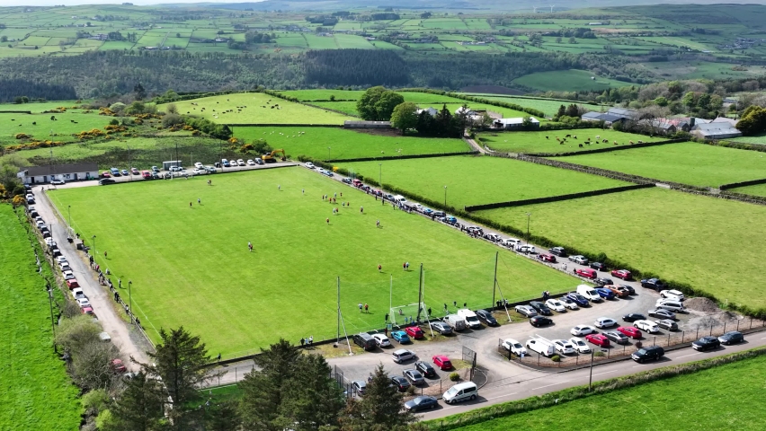 Field system in AnballyField system · 1318 yd
 Cregboyne FortBawn · 1368 yd
 Castle (in ruins)Castle, tower house · 1.0 mi
 Bawnmore Houseoutbuilding · 2.4 mi
 Cregg Castle DemesneForest · 3.1 mi
 European BeechEuropean Beech · 3.1 mi
 Kilcoona Round TowerHeritage attraction · 5.5 mi
 Ballinduff BayBay · 6.1 mi
 Oileán an AoilIsland · 7.8 mi
 Oileán an BhreathnaighIslet · 7.9 mi