What is recorded here
Aerial photograph (GB89.P.08) shows a rectilinear field system defined by fosses which surround, and appear contemporary with, two cropmark enclosures (KK028-059001- and KK028-059003-).
Also visible on CUCAP BDI 48-50.
Compiled by: Dr. Gillian Barrett for the Archaeological Survey of Ireland
Date of upload: 6 June 2012
The monument record does not grant public access. Check the route and ask the landowner before entering private land.
- What survives
- Recorded monument
Places near here
 Enclosure in Jerpoint WestEnclosure · 411 yd
 Holy WellSpring · 552 yd
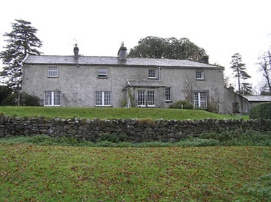 Belmorehouse · 582 yd
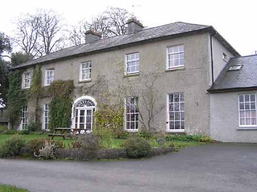 Jerpoint Househouse · 598 yd
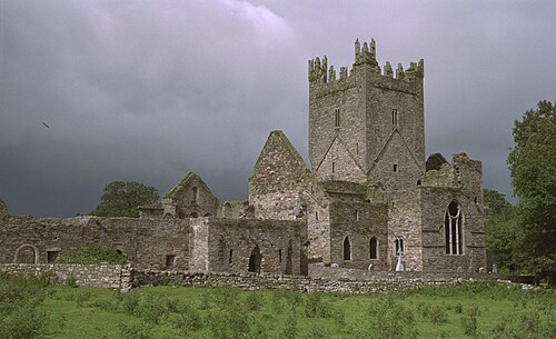 Jerpoint AbbeyHeritage attraction · 1046 yd
 Pedunculate OakPedunculate Oak · 1.0 mi
 Bawn in LeganBawn · 1.2 mi
 Mount Juliet HouseCastle · 1.2 mi
 Town defences in ThomastownTown defences · 1.2 mi
 Oliver (Ollie) WalshMemorial · 1.3 mi
 The Yellow GateMemorial · 1.4 mi
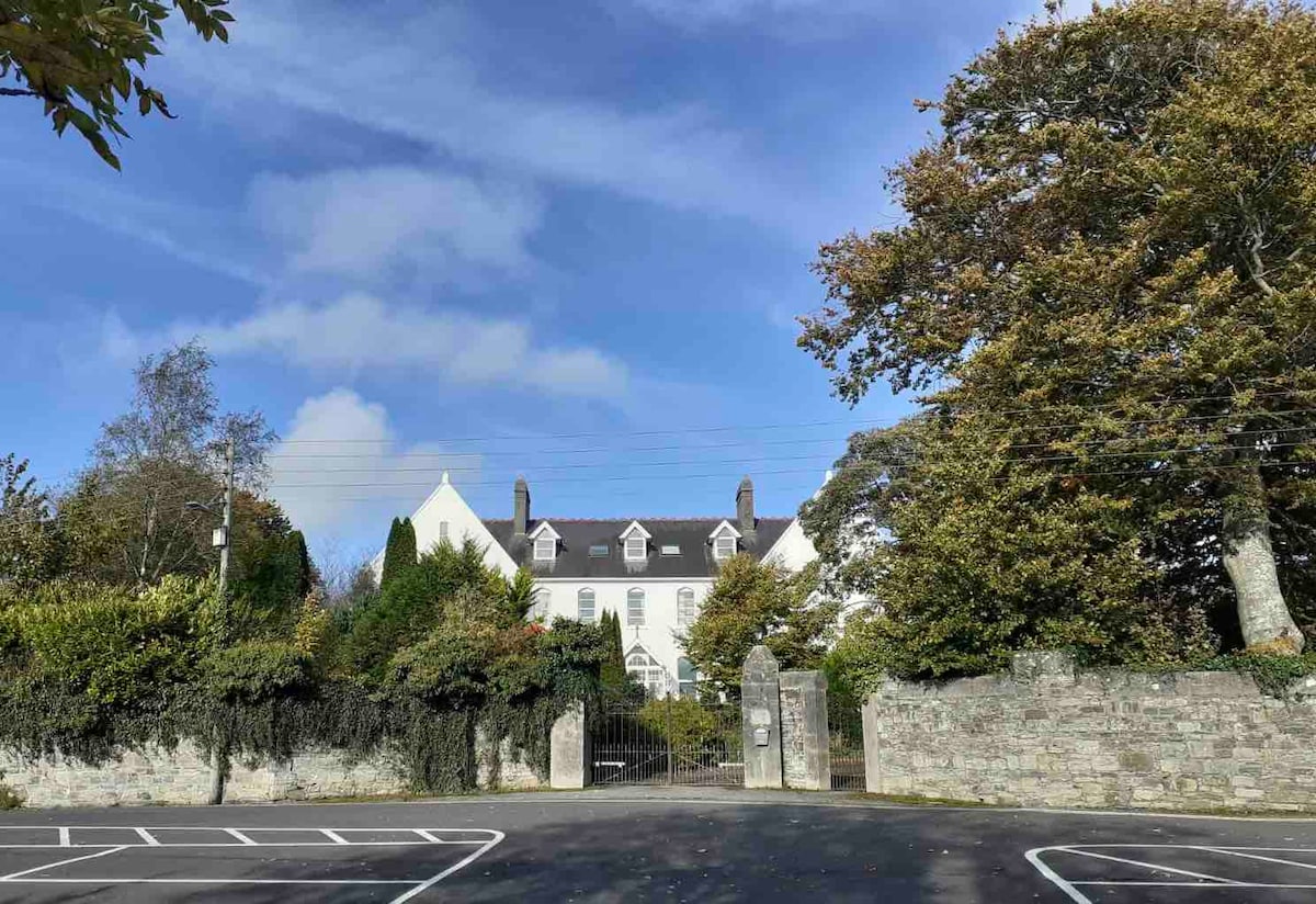 Thomastown QuarryNature reserve · 1.5 mi