What is recorded here
Hobartstown West in County Kildare is called a field system, yet the ground beneath the name holds a small circular enclosure and a church shadow instead of ordinary farmland. The circular ditch may have measured forty-five metres across, large enough for a hall, a temple or a family meeting place, while the rectangular enclosure to the west suggests someone still worked the land with edges and rules. The larger southern traces widen the story further, as if the known site were only the visible room of a bigger house.
Aerial photograph (CUCAP AYL 59) shows a cropmark of small circular enclosure (KD0330002-)defined by fosse (est. max diam. c. 45m), surrounding cropmark of church (KD038-033001-). Traces of a larger enclosure at the S and rectangular enclosure defined by two fosses and possible bank at W.
Date of upload: 15 September 2016
The monument record does not grant public access. Check the route and ask the landowner before entering private land.
- What survives
- Recorded monument
Places near here
 Church (Site of)Church · 8 yd
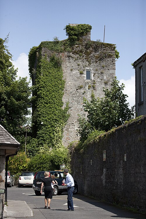 Kyledrumman Castle (in ruins)Castle, unclassified · 252 yd
 Enclosure in Hobartstown East,hobartstown WestEnclosure · 298 yd
 Bolton CastleCastle, tower house · 1.2 mi
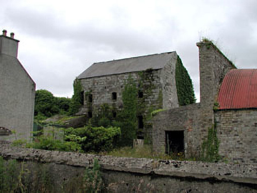 Belan Millmill (water) · 1.2 mi
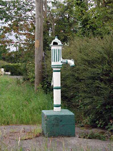 water pumpwater pump · 1.5 mi
 Mullaghreelan WoodForest · 1.5 mi
 Lorcán Ó TuathailMemorial · 1.8 mi
 European ashEuropean ash · 2.1 mi
 Castledermot Round TowerHeritage attraction · 2.2 mi
 ProclamationMemorial · 2.3 mi
 Franciscan FriaryHeritage attraction · 2.3 mi