What is recorded here
Clearing that field system was like dragging a buried village onto the surface. The low stony banks still mark small rooms of grass, and the house foundations suggest people lived there before the church became the centre of memory. Grange may have worn that older settlement into silence, but the fields kept its shape.
To SW and W of church (GA086-133001-) are a series of grass-covered low stony banks. They form small irregular and rectangular fields and cover an area c. 160m by c. 80m. A number of house foundations survive.
The above description is derived from the published 'Archaeological Inventory of County Galway Vol. II - North Galway'. Compiled by Olive Alcock, Kathy de hÓra and Paul Gosling (Dublin: Stationery Office, 1999).
Date of upload: 05 August 2010
The monument record does not grant public access. Check the route and ask the landowner before entering private land.
- What survives
- Recorded monument
Places near here
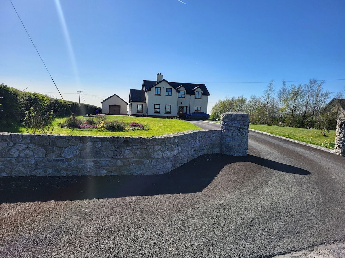 IndicatedChurch · 64 yd
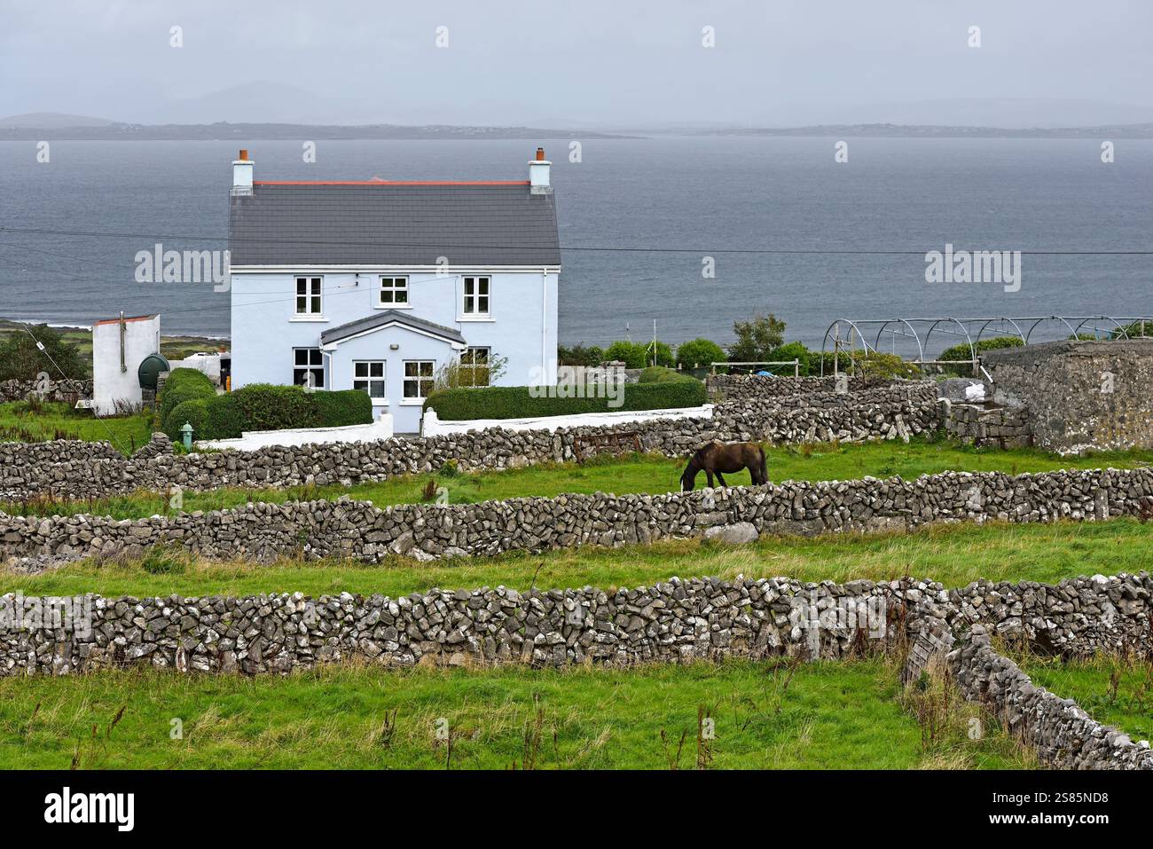 Enclosure in Castlebin NorthEnclosure · 1232 yd
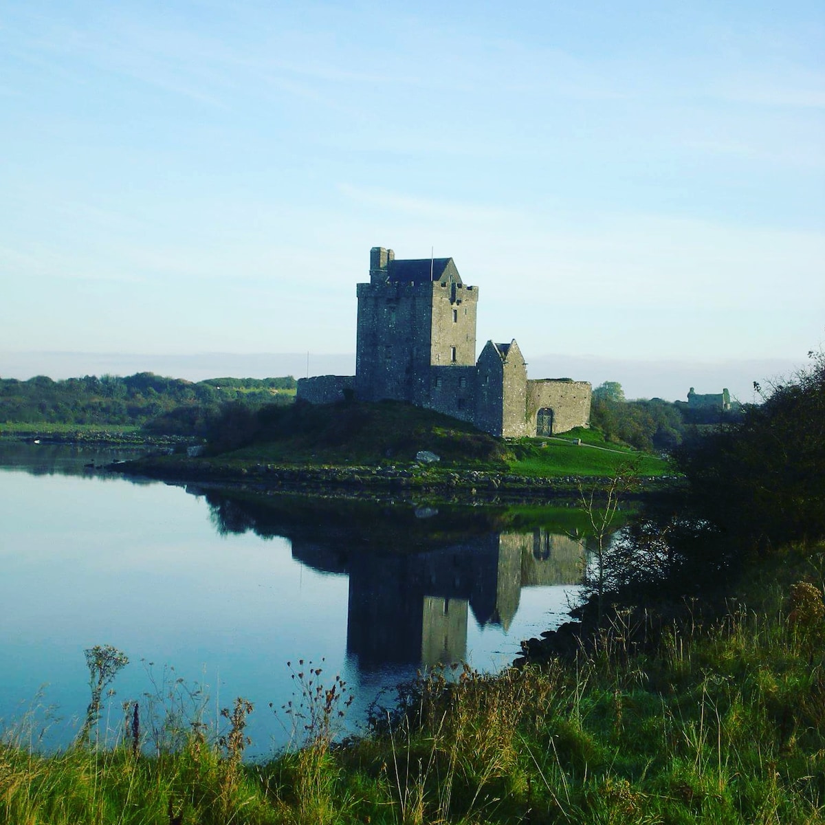 R.C. ChapelChurch · 1258 yd
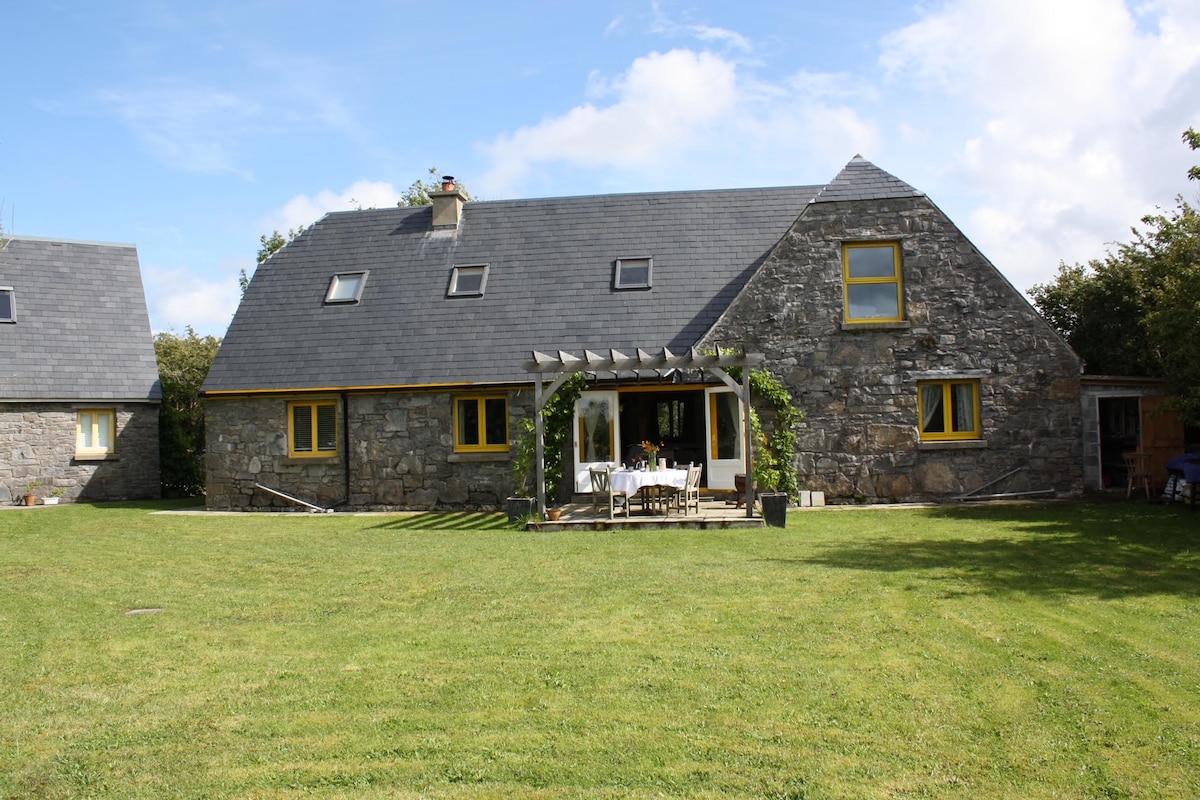 Killagh HouseFairy fort / ringfort · 1408 yd
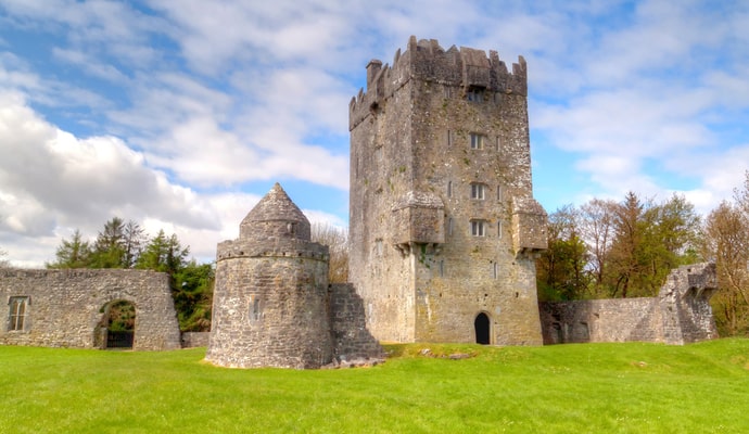 CastleCastle, unclassified · 1.2 mi
 Woodlawn WoodsForest · 2.0 mi
 Site of Lisnamoltaun CastleCastle, unclassified · 2.3 mi
 European Crab AppleEuropean Crab Apple · 2.4 mi
 Turoe StoneHeritage attraction · 3.9 mi
 Kilconnell AbbeyHeritage attraction · 5.0 mi
 Battle of Aughrim Interpretative CentreMuseum · 7.8 mi
 Battle of AughrimMajor battlefield · 8.1 mi