What is recorded here
Situated on a level landscape that slopes down slightly to the N. An unmapped field system of small rectangular or square fields (dims c. 25m x c. 25m) defined by the cropmarks of ditches is visible on oblique aerial photographs (CUCAP: BGN 013-14) from 1971. They are also visible, although less distinct, on aerial photograph (LS AS 35BWN_00 059_03) taken by Leo Swan. It covers an area of about 12 ha. (c. 30 acres) with a concentrated area (dims c. 100m x c.100m) at the centre with smaller plots (dims c. 30m x c. 15m). No house sites are identifiable and the smaller plots could be associated with flax-growing. The fields are also visible on Google Earth (24/06/2018; 21/07/2021). (Feeley 2001, 40-1, No. 25)
See the attached view from Google Earth (21/07/2021)
The above description is derived from the published 'Archaeological Inventory of County Meath' (Dublin: Stationery Office, 1987). In certain instances the entries have been revised and updated in the light of recent research.
Date of revision: 23 May 2016
Amended: 17 December 2021
The monument record does not grant public access. Check the route and ask the landowner before entering private land.
- What survives
- Recorded monument
Places near here
 Enclosure in KilrueEnclosure · 963 yd
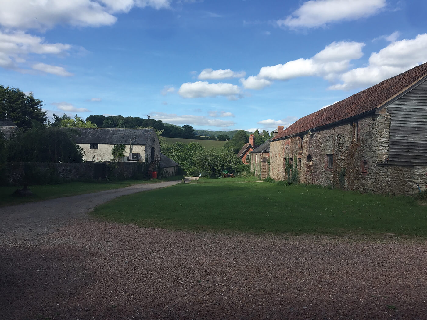 Enclosure in NuttstownEnclosure · 1729 yd
 Caulstown Christmas Tree FarmForest · 1.3 mi
 Wesley's WoodsWood · 1.4 mi
 Kilbride MoatCastle, motte · 1.5 mi
 Church (in Ruins)Church · 1.6 mi
 AshbourneMemorial · 2.7 mi
 CastleCastle, motte · 2.8 mi
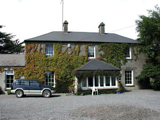 Fox Lodgehouse · 3.0 mi
 Graveyard in BuzzardstownGraveyard · 4.2 mi
 Wooly Ward's FarmHeritage attraction · 4.4 mi
 Cornstown HouseHeritage attraction · 4.6 mi