What is recorded here
In tillage. Conjoined irregular enclosures (dims. c. 37m x 54m; c. 56m x 80m; c. 36m x 26m) identified as cropmarks on Google Earth Pro imagery (imagery date 14 July 2018) by Jean-Charles Caillère.. There is an enclosure (CW015-034----) immediately to the N and another enclosure (CW015-035----) c. 40m to the NE.
See attached image:
CW015-035----_01Google Earth Pro imagery
Compiled by: Jean Farrelly
Date of upload: 4 September 2019
The monument record does not grant public access. Check the route and ask the landowner before entering private land.
- What survives
- Recorded monument
Places near here
 Enclosure in FarranafreneyEnclosure · 80 yd
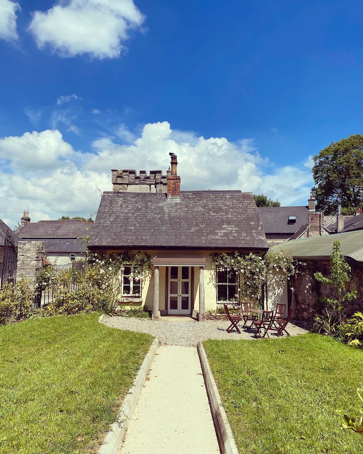
 Oldleighlin Househouse · 1417 yd
 Enclosure in ClosuttonEnclosure · 1616 yd
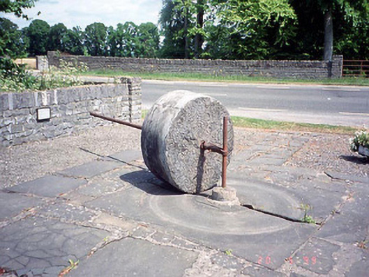 culm crusherculm crusher · 1665 yd
 Church, GraveyardChurch · 1.0 mi
 Black Castle (in ruins)Castle, tower house · 1.2 mi
 Lock Keeper's House and Lodge MillsVisitor information · 2.2 mi
 Church (in ruins), GraveyardChurch · 2.2 mi
 The Columban WayVisitor information · 2.5 mi
 Sweet ChestnutSweet Chestnut · 2.8 mi
 Dunleckny Ho.Castle, unclassified · 2.8 mi
 Common LimeCommon Lime · 2.9 mi