What is recorded here
A rectangular enclosure (dims. c. 112m NNW-SSE; c. 135m WSW-ENE) visible as a cropmark on Google Earth (imagery date 28 June 2018), identified and reported by Simon Dowling. The enclosure, probably a small field, appears to be within a larger rectilinear enclosure, also visible as a cropmark though not on the same alignment, running northwestward for c. 190m from the NE angle of the rectangular enclosure, before turning southwestward, this length is clearly visible for c. 134m before becoming more faint.
See attached Google Earth image taken 28 June 2018
Compiled by: Jean Farrelly
Date of upload: 8 April 2019
The monument record does not grant public access. Check the route and ask the landowner before entering private land.
- What survives
- Recorded monument
Places near here
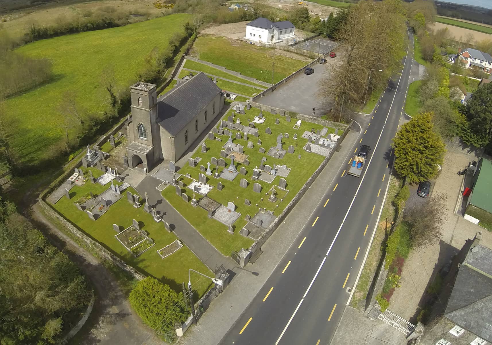 Church in DunmoreChurch · 871 yd
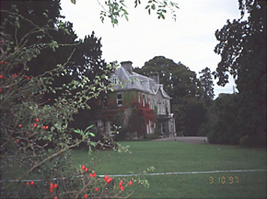 Moyne Househouse · 1220 yd
 CastleCastle, unclassified · 1285 yd
 Enclosure in WatercastleEnclosure · 1.1 mi
 Water CastleCastle · 1.2 mi
 Monastery (in Ruins)Ecclesiastical site · 1.2 mi
 Birchfield PlantationForest · 1.6 mi
 Pedunculate OakPedunculate Oak · 1.7 mi
 1798 MonumentMemorial · 3.6 mi
 Knocknamoe HouseMemorial · 3.7 mi
 Abbeyleix Heritage CentreMuseum · 3.9 mi
 Anker's IslandIsland · 4.2 mi