What is recorded here
In rough peaty pasture, largely obscured by overgrowth of ferns and gorse, in an area of cutaway bog on a gentle N-facing slope. The remains of collapsed stone walls (av. T 0.65m; max. H 0.9m) protrude intermittently above the surface of the remaining shallow bog and indicate a field system scattered throughout a roughly rectangular area (c. 600m NE-SW; c. 240m NW-SE). The remaining stretches of walls suggest fields of varying shapes and sizes. The field system is visible on aerial photographs (GSIAP, V 1; W 19) taken in 1973. Three hut sites (KE067-090001-, KE067-090002-, KE067-090003-) are within the field system.
Compiled by: Elizabeth Byrne, Ursula Egan and Sheila Ronan, Archaeological Survey Unit, University College, Cork.
Date of upload: 31 January 2011
The monument record does not grant public access. Check the route and ask the landowner before entering private land.
- What survives
- Recorded monument
Places near here
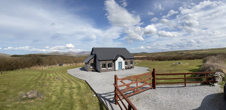 Hut site in DromickbaneHut site · 87 yd
 IndicatedFairy fort / earthen ringfort · 857 yd
 Owgarriff Br.Bridge · 1556 yd
 Religious houseReligious house, Franciscan friars · 1.1 mi
 Blue Pool Nature ReserveWood · 1.2 mi
 Sheheree Bog Nature ReserveNature reserve · 1.3 mi
 The Blue PoolGallery · 1.3 mi
 Muckross AbbeyHeritage attraction · 1.6 mi
 Flesk CastleCastle · 1.8 mi
 McCarthy Mor CastleCastle · 1.9 mi
 Osprey RockIsland · 2.0 mi
 A.W.B. (Billy) Vincent MemorialMemorial · 2.1 mi