What is recorded here
On NW and N slopes of the ridge on which a stone row (GA010-003----) and prehistoric enclosure (GA010-005----) are situated. A pre-bog wall is traceable for c. 80m running WNW-ESE across the ridge summit, passing roughly at right angles through the centre of the stone row. A second stretch of wall is also traceable c. 100m to N of the enclosure, curving across the brow of the ridge from W through N to E. It disappears into uncut bog at either end. Both these walls have been the subject of palaeobotanical study and samples from directly beneath them have produced 14C determinations of 2370 ± 60 BP and 2390 ± 90 BP respectively. (Molloy and O'Connell 1988; Gibbons and Higgins 1988a)
The above description is derived from the published 'Archaeological Inventory of County Galway Vol. I - West Galway'. Compiled by Paul Gosling (Dublin: Stationery Office, 1993).
Date of upload: 05 August 2010
The monument record does not grant public access. Check the route and ask the landowner before entering private land.
- What survives
- Recorded monument
Places near here
 Enclosure in DerryinverEnclosure · 132 yd
 Tully MountainMountain / peak · 1423 yd
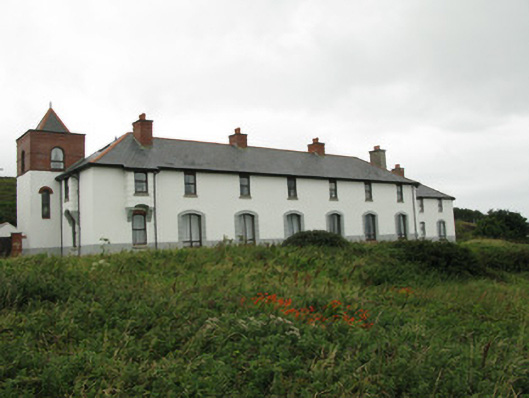 coastguard stationcoastguard station · 1665 yd
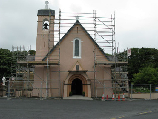 Catholic Church of Christ the Kingchurch/chapel · 1666 yd
 DoongillEnclosure · 1.1 mi
 RoeillaunIslet · 1.4 mi
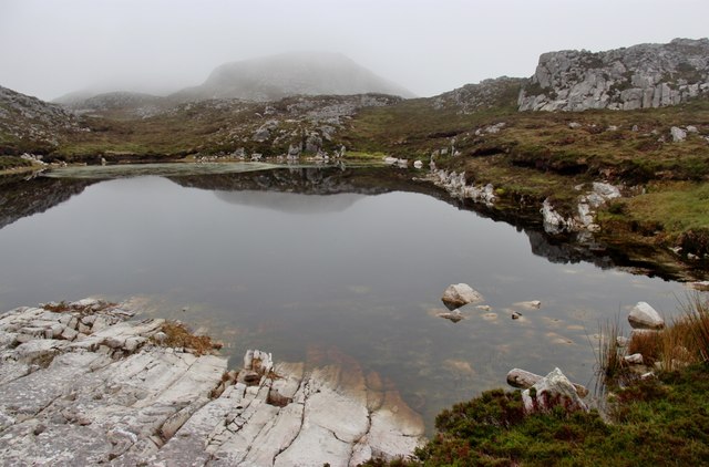 Tully Mountain WestMountain / peak · 1.4 mi
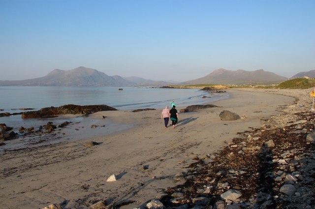 Renvyle BeachBeach / strand · 1.5 mi
 Green IslandIslet · 1.6 mi
 Rinvyle Castle (in ruins)Castle, tower house · 2.4 mi
 Renvyle CastleCastle · 2.4 mi
 Connemara National Park Visitor CentreHeritage attraction · 2.9 mi