What is recorded here
Derrydonnell More, moyveela hides a vanished estate where collapsed stone walls once boxed twenty-six metres of living space beside a tower house. The stones may have marked bread fields, sheep folds or servant gardens for the people who defended that tower. Dense overgrowth swallowed the boundaries by 1982, erasing the human hands that built and tended them. The land keeps its shape in shadow now, waiting for someone brave enough to walk the hidden rooms.
Surrounding a tower house (GA095-028----). Aerial reconnaissance in 1964 (CUCAP AJU 14) revealed a number of collapsed stone walls, covering an area of c. 260m by c. 230m, which formed several rectangular enclosures. Possibly a series of fields associated with the tower house. On inspection in August 1982 the area was inaccessible due to dense overgrowth.
Compiled by: Galway Archaeological Survey, UCG
Date of upload: 24 July 2019
The monument record does not grant public access. Check the route and ask the landowner before entering private land.
- What survives
- Recorded monument
Places near here
 Derrydonnell Castle (in ruins)Castle, tower house · 177 yd
 TemplegalChurch · 233 yd
 Enclosure in Derrydonnell More,moyveelaEnclosure · 685 yd
 IndicatedFairy fort / stone ringfort · 1371 yd
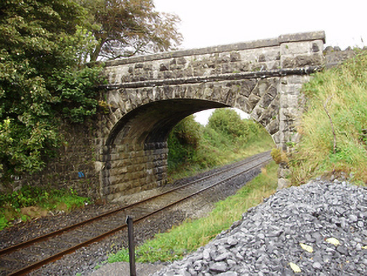 Derrydonnell Bridgebridge · 1395 yd
 Bawn in MoyveelaBawn · 1679 yd
 Loughaun WoodWood · 3.5 mi
 Athenry AbbeyHeritage attraction · 3.5 mi
 Horse-chestnutHorse-chestnut · 3.6 mi
 Athenry CastleHeritage attraction · 3.6 mi
 First Battle of Athenrybattle · 3.9 mi
 Rabbit IslandIslet · 7.8 mi