What is recorded here
Situated in the NW corner of Dalkey Island. A field system comprising of a combination of drystone-built walls and banks lie N, S and E of St Begnet's Church. They represent a sequence of boundaries to the churchyard and also served as a boundary to pre-13th-century cultivation (Liversage 1968, 191-2).
Compiled by: Geraldine Stout and Padraig Clancy
Revised upload on: 25 June 2018
The monument record does not grant public access. Check the route and ask the landowner before entering private land.
- What survives
- Recorded monument
Places near here
 St Begnets ChurchChurch · 2 yd
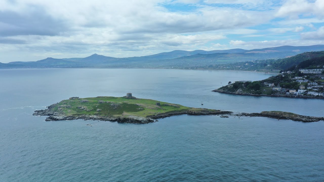 Scurvy WellHoly well · 81 yd
 Promontory fortPromontory fort, coastal · 108 yd
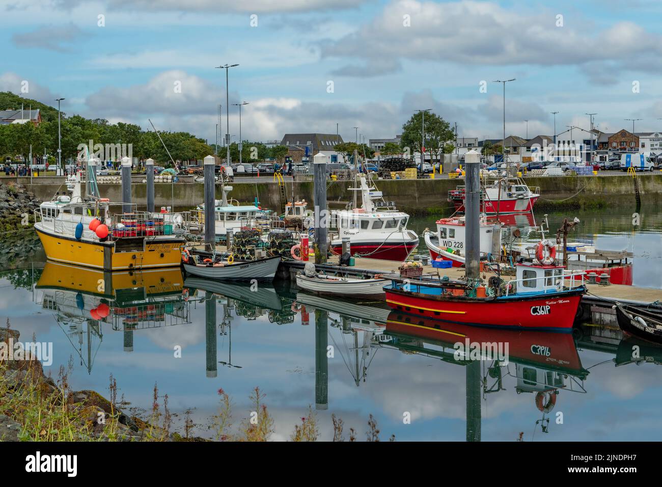 Boat HarbourIslet · 135 yd
 Dalkey IslandIslet · 137 yd
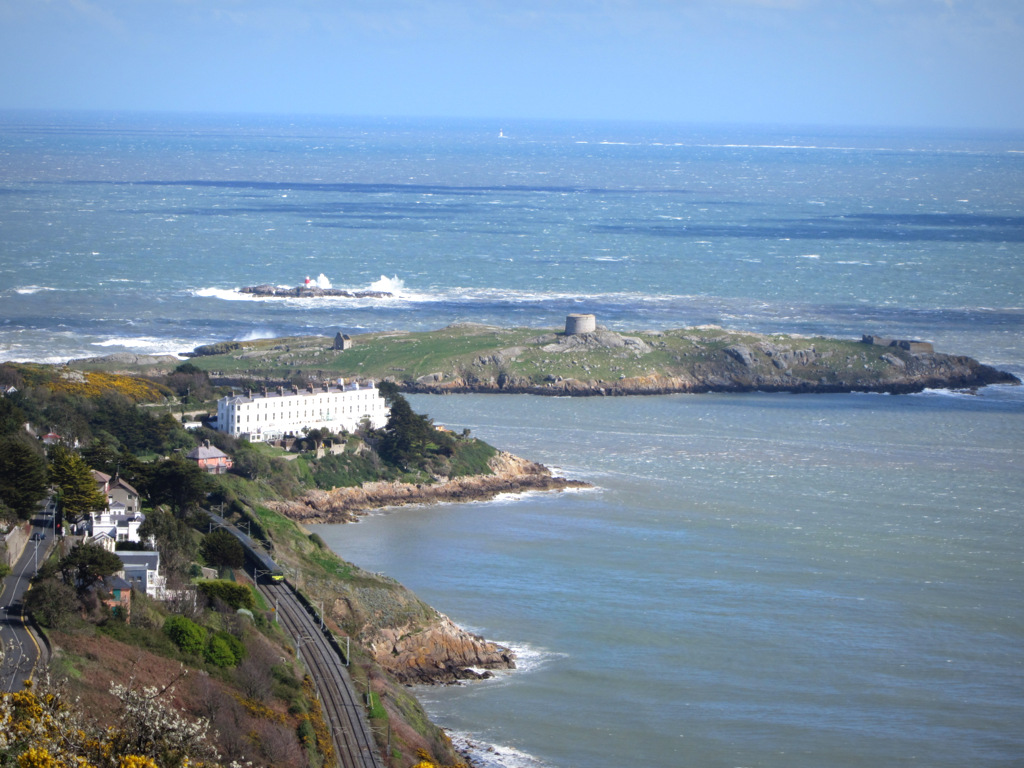 Dalkey Island BatteryFort · 321 yd
 Ancient and Holy WellVisitor information · 466 yd
 Dalkey Island Viewpoint & TelescopeViewpoint · 618 yd
 MuglinsLighthouse · 777 yd
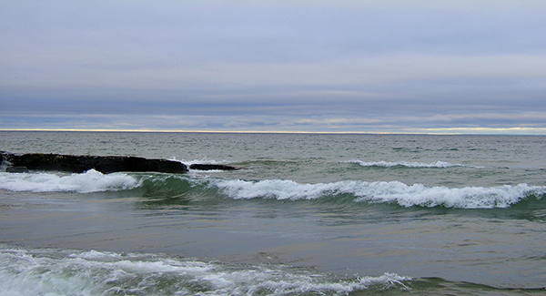 Hawk Cliff/Whiterock BeachBeach / strand · 820 yd
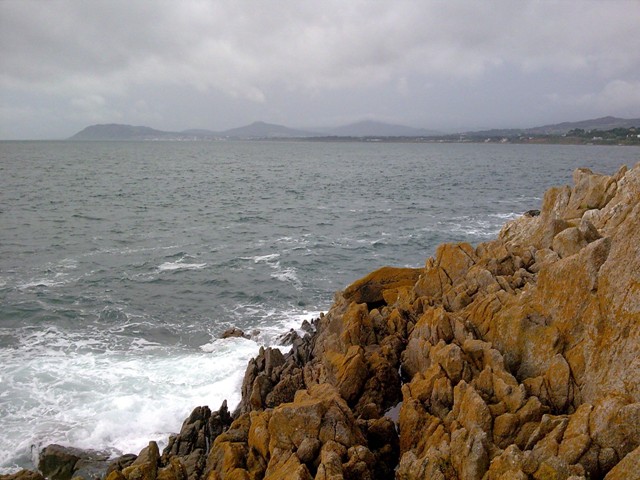 Hawk CliffCliff · 944 yd
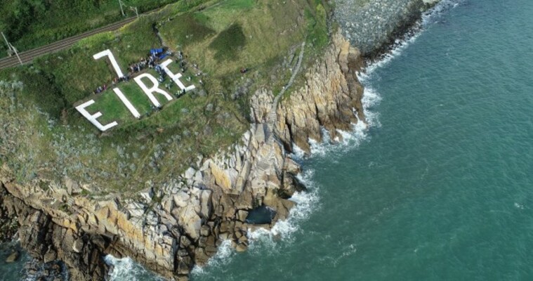 EIRE 7 signSecond World War neutrality sign · 1020 yd