
What is recorded here
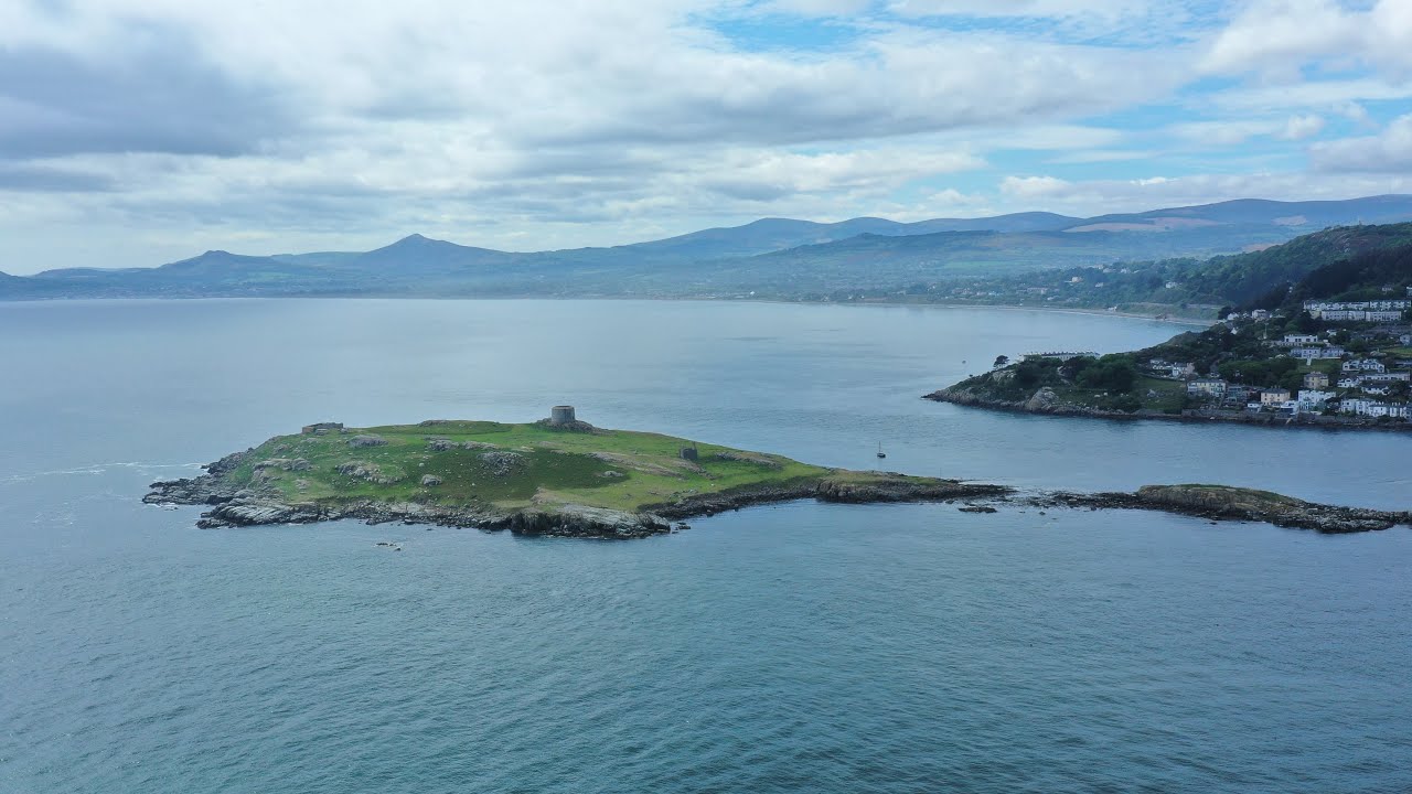
Promontory fort occupies the northwest corner of Dalkey Island, a low oval headland where a curving fosse and rocky shore still mark the edge of a small defended world. The landward ditch once reached two metres deep, yielding animal bones and iron slag that suggest busy human life rather than empty ceremony. Above it, a Martello tower and gun emplacement later claimed the same sea-facing position, layering military ambition onto an older coastal boundary.
Located in the NW corner of Dalkey Island. A promontory fort encloses an area (0.25ha) which is roughly divided into two flat platforms. A low oval N-facing promontory surrounded by a rocky shore measuring 50m N-S is defended on the landward side by a curving 6m wide 1m deep U-shaped fosse and intermittent traces of a low internal earthen mound close to the E shore, possibly the remains of a bank or wall. The interior consists mainly of outcropping rock and coarse vegetation, with access to the sea possible from all sides. The fosse is deepest along the E, diminishing to the N 8m from the W edge, possibly the site of a causewayed entrance. To the S the site is overlooked by higher ground occupied by a Martello tower. A gun emplacement was built on the S shore, while a 7th-century church dedicated to St. Begnet stands on the northern slopes inland from the fort. Sea rocks extending 100m from the site suggest the headland was once larger. These defences were excavated by Liversage in 1957 (1968, 99-104). The fosse had been steep-sided (Wth 5m; D 2.4m) and its fill produced animal bones and iron slag. It had been a source of building material for the external bank (Wth 8.5m; H 1.4m).
Compiled by: Geraldine Stout and Padraig Clancy
Revised upload on: 25 June 2018.
The monument record does not grant public access. Check the route and ask the landowner before entering private land.
- What survives
- Recorded monument
Places near here
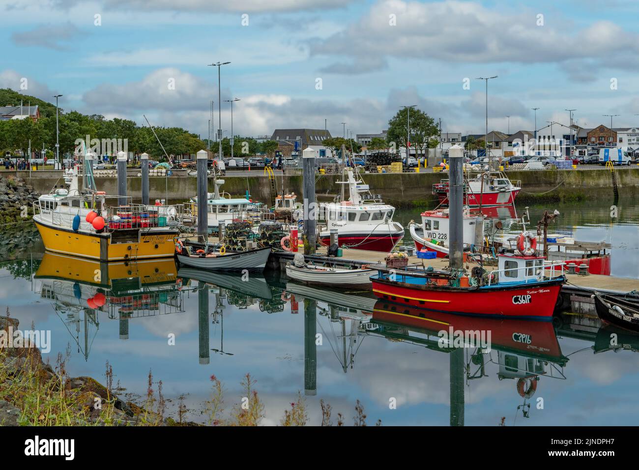 Boat HarbourIslet · 36 yd
 Scurvy WellHoly well · 98 yd
 St Begnets ChurchChurch · 108 yd
 Lamb IslandIslet · 211 yd
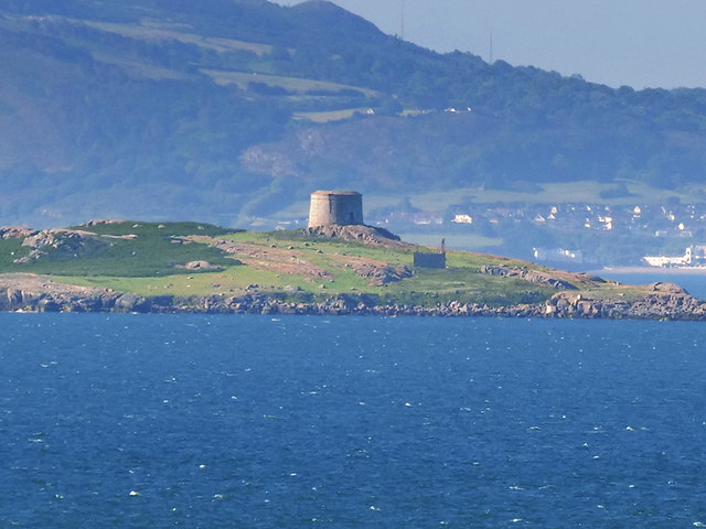 Martello TowerMartello tower · 239 yd
 Ancient and Holy WellVisitor information · 423 yd
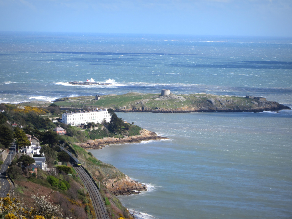 Dalkey Island BatteryFort · 429 yd
 Dalkey Island Viewpoint & TelescopeViewpoint · 527 yd
 MuglinsLighthouse · 669 yd
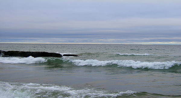 Hawk Cliff/Whiterock BeachBeach / strand · 802 yd
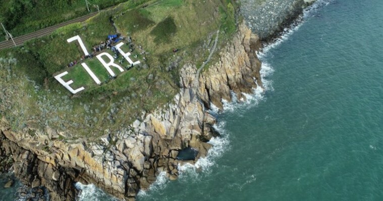 EIRE 7 signSecond World War neutrality sign · 1003 yd
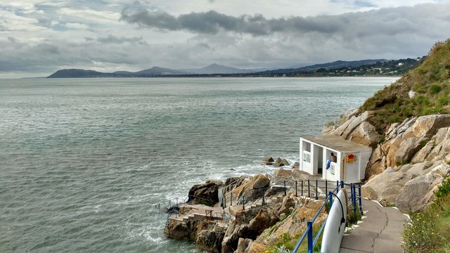 Hawk CliffCliff · 1026 yd
Other information
Photo: Credit not shown in the picture search · Rights wording not checked; contact us if this picture should be removed