What is recorded here
Located on a fairly level landscape, and visible on vertical aerial photographs (GSIAP: N 296, 297) from the 1970s where it extends W to a small S-N drain and townland boundary, but it has been reduced in extent. Relict field banks survive in an area of about 11 acres (c. 4.5ha). It consists of grass-covered relict field drains (Wth c. 3m; D 0.2m) creating some small irregular fields (dims c. 40m x c. 30m). At the S end a large rectangular field (dims c. 120m N-S; c. 40m plus E-W) is defined by a wide scarp (at N: Wth 4m; H 1m), but it does not survive E of a NNE-SSW mapped field bank.
The above description is derived from the published 'Archaeological Inventory of County Meath' (Dublin: Stationery Office, 1987). In certain instances the entries have been revised and updated in the light of recent research.
Compiled by: Michael Moore
Date of upload: 10 July 2007
Amended: 22 November 2021
The monument record does not grant public access. Check the route and ask the landowner before entering private land.
- What survives
- Recorded monument
Places near here
 IndicatedEnclosure, large enclosure · 297 yd
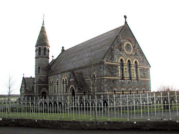 Catholic Church of Saint Martin of Tourschurch/chapel · 893 yd
 St Nicholas WellHoly well · 1035 yd
 CastleCastle, motte · 1.1 mi
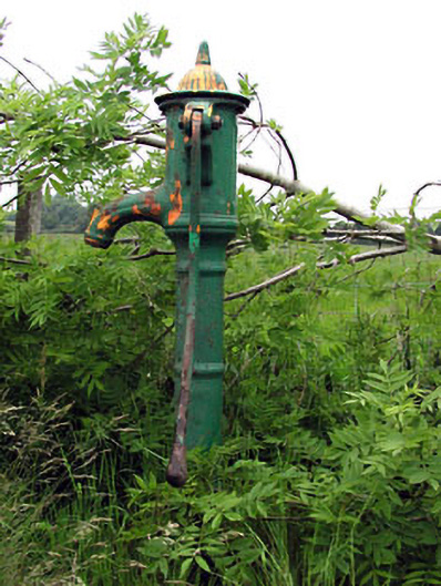 water pumpwater pump · 1.6 mi
 MullaghMountain / peak · 2.5 mi
 1798 MemorialMemorial · 2.6 mi
 Lismahon 1798 MemorialMonument · 2.6 mi
 Dunsany WoodWood · 3.5 mi
 Killeen CastleCastle, tower house · 3.5 mi
 Railway Woods (North)Forest · 3.8 mi
 Larchil Arcadian GardensHeritage attraction · 3.9 mi