What is recorded here
Low earthworks in field immediately to NNE and E of ringfort (WM017-043----) may be the remains of a medieval field system. These earthworks are not visible on Digital Globe aerial photographs.
See attached plan of ringfort showing earthworks of field system to NNE and E.
Compiled by: Alison McQueen, Vera Rahilly and Caimin O’Brien
Date of upload: 06 December 2018
The monument record does not grant public access. Check the route and ask the landowner before entering private land.
- What survives
- Recorded monument
Places near here
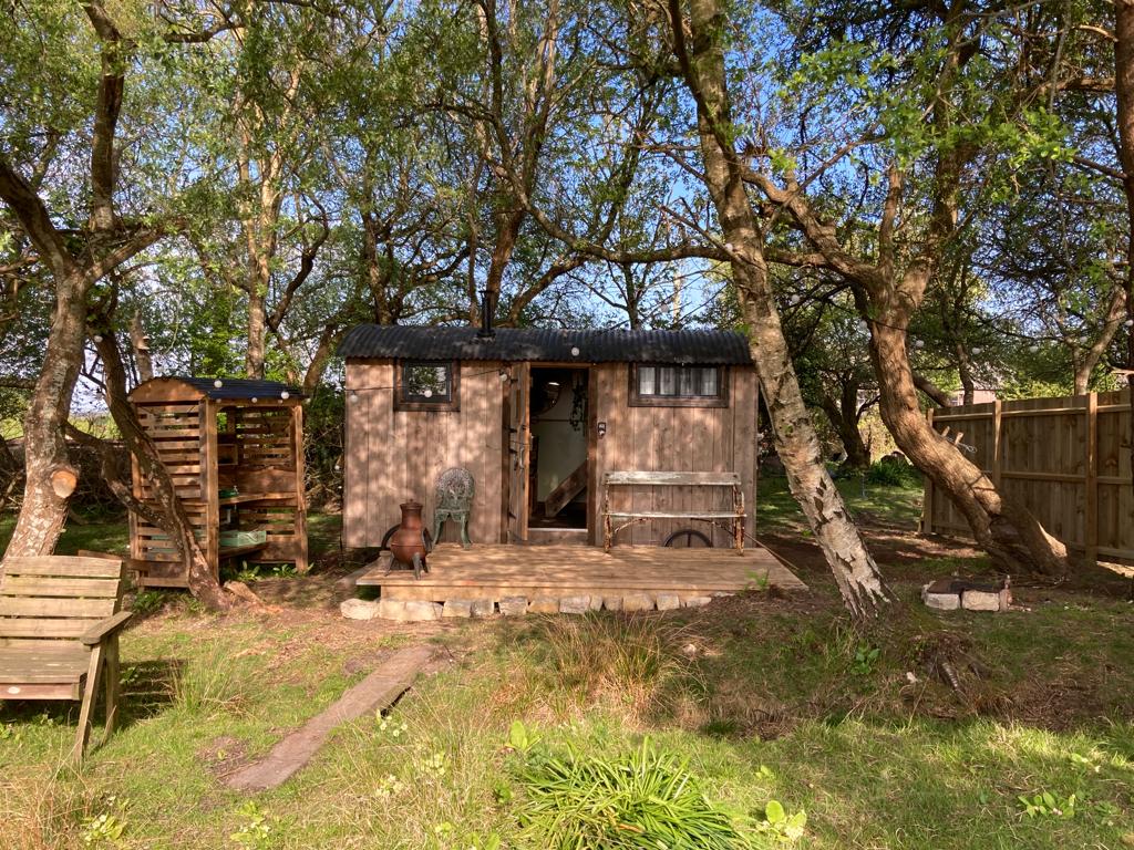 Hut site in CorkanHut site · 229 yd
 Site of AbbeyReligious house, unclassified · 533 yd
 Saint Mary's Catholic Churchchurch/chapel · 738 yd
 Milltown Castle in ruinsCastle, unclassified · 1018 yd
 Rathcastle Househouse · 1645 yd
 Ancient Ring FortWood · 1.1 mi
 RathconrathCastle, motte · 1.6 mi
 Sessile OakSessile Oak · 4.1 mi
 Abbeyshrule AbbeyRuins · 4.9 mi
 Craft WorkshopHeritage attraction · 6.3 mi
 Guest ServicesVisitor information · 6.3 mi
 Goldsmith Birthplace, PallasVisitor information · 6.5 mi