What is recorded here
On the summit of a hill in rough upland pasture with a lot of rock outcrop. There are commanding views over valleys to the S, W, and N and a fair view to the E though slightly overlooked by small ridge. Land drops very steeply to S, W, N and rises slightly to E. Identified on a Geological Survey of Ireland aerial photograph (roll 43, print 18). A complex consisting of an enclosure (KK008-032001-) and associated field banks, some of which may be the remains of other structures. The field banks run from the NE and SW bank of the enclosure. Immediately NE of the enclosure the banks form a possible D-shaped annexe (dims. 24m N-S; 21m E-W) incorporating a smaller structure (dims. 8m x 8m) with an entrance in the SW.
Compiled by: Jean Farrelly
Date of upload: 2 October 2017
The monument record does not grant public access. Check the route and ask the landowner before entering private land.
- What survives
- Recorded monument
Places near here
 IndicatedEnclosure · 983 yd
 Enclosure in GorteennahillaEnclosure · 1230 yd
 Abbey (in ruins)Religious house, unclassified · 1559 yd
 Street fieldArchaeological place · 1.1 mi
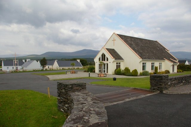 Church in GlashareChurch · 1.1 mi
 Glashare CastleCastle, tower house · 1.1 mi
 CastleCastle, unclassified · 1.9 mi
 Clomantagh HillMountain / peak · 3.5 mi
 DelaneyMemorial · 3.9 mi
 John HelyMemorial · 3.9 mi
 Big WoodWood · 4.4 mi
 Anker's IslandIsland · 5.8 mi