What is recorded here
Cloonteen and Toveroe hold a forgotten village beneath gentle grass. Collapsed walls and earthen banks still mark small irregular fields, two ringforts, a holy well, a limekiln and a narrow three-part house. People likely lived, made lime, prayed at water and tended land there before the fields disappeared from common memory. The land keeps their shape even when their names have gone.
In gently undulating grassland. An extensive complex of collapsed stone walls and earthen banks, covering an area c. 900m E-W by c. 450m N-S, was brought to light during aerial reconnaissance in July 1967 (CUCAP AFT 43). They form a series of small irregular fields within which the remains of the following were noted: (a) a holy well (GA028-043----), (b) a limekiln, (c) two rectangular enclosures (GA028-043001--GA028-043002-), (d) two ringforts (GA028-043003----, GA028-044----), (e) a circular enclosure (GA028-043005-) and (f) close to NE limits, a rectangular house (NW-SE; L 7.8m, Wth 4.8m) defined by a partially grassed-over drystone wall. There is an entrance in N wall and the interior appears to be subdivided into three compartments. Another field system (GA028-020----) lies c. 400m to ENE.
The above description is derived from the published 'Archaeological Inventory of County Galway Vol. II - North Galway'. Compiled by Olive Alcock, Kathy de hÓra and Paul Gosling (Dublin: Stationery Office, 1999).
Date of upload: 05 August 2010
The monument record does not grant public access. Check the route and ask the landowner before entering private land.
- What survives
- Recorded monument
Places near here
 Enclosure in Toberroe (dunmore By.)Enclosure · 55 yd
 TobercloghHoly well · 458 yd
 Rockwell Househouse · 572 yd
 Kilshanvy Church (in ruins)Church · 1.0 mi
 Bawn in BlindwellBawn · 1.7 mi
 European YewEuropean Yew · 2.5 mi
 Pesooge PlantationForest · 3.2 mi
 Mass RockNamed rock · 3.6 mi
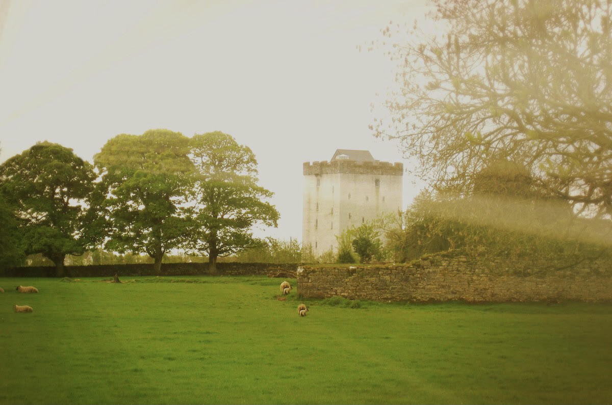 Castle in ruinsCastle, tower house · 3.7 mi
 Kilcoona Round TowerHeritage attraction · 8.1 mi
 Walsh's IslandIslet · 11 mi
 Otter IslandIslet · 11 mi