What is recorded here
The remains of a curvilinear drystone field wall can be seen enclosing the drystone walled enclosure (DG015-040001-) from S through W to N. This curving field wall appears to be part of a field system contemporaneous with the enclosure. The enclosure and field system are situated on flat pasture on the W facing slope of rising land in upland area with a hilltop cashel (DG015-011-) located 130m to the E.
Compiled by: Caimin O'Brien
Date of revision/upload: 29 May 2010
The monument record does not grant public access. Check the route and ask the landowner before entering private land.
- What survives
- Recorded monument
Places near here
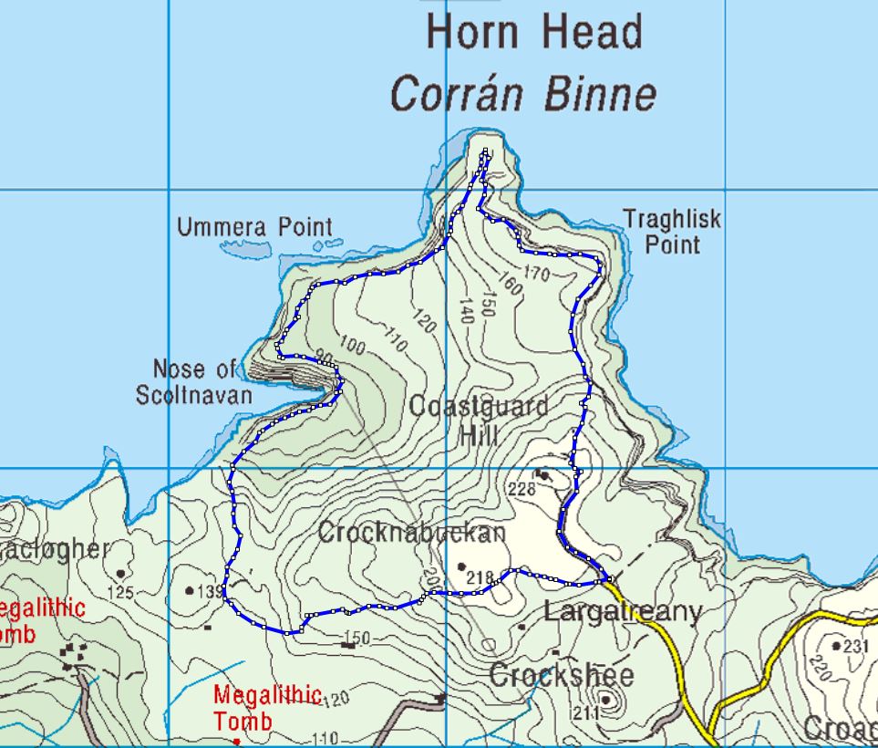 Cloghernagh Stone EnclosureEnclosure · 30 yd
 Cashelnaclogherny Stone FortFairy fort / stone ringfort · 201 yd
 Trá Phoill a GhuillBeach / strand · 438 yd
 Cliffs near Pollaguill BayPublicly named cliff or headland · 639 yd
 Mc Swyne's GunHeritage attraction · 813 yd
 Cliffs near ClagganPublicly named cliff or headland · 1422 yd
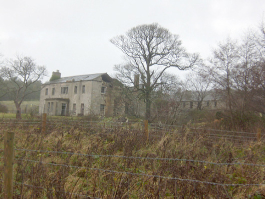 Horn Head Housecountry house · 1.1 mi
 Tramore StrandBeach / strand · 1.1 mi
 Hornhead Bridgebridge · 1.3 mi
 Castle (Site of)Castle, unclassified · 1.8 mi
 CrocksheeMountain / peak · 1.8 mi
 Local Wildlife presentationVisitor information · 2.0 mi