What is recorded here
Remains of several field walls meandering across the the S face of rising ground in upland area which appear to be contemporaneous with hilltop cashel (DG015-011-). The field walls appear to run onto and repsect this hilltop cashel. The field walls are constructed with low upright orthostats forming a double wall with an inner and outer facing or revetment. These walls mainly run from E to W across the S facing slope of rising ground. To the SE of the cashel there are two field walls running parallel to each other which appear to form a roadway running E-W across the S face of the hill. On this S facing hill the field walls appear to form several D-shaped fields.
Compiled by Caimin O'Brien
Date of upload: 29 May 2010
The monument record does not grant public access. Check the route and ask the landowner before entering private land.
- What survives
- Recorded monument
Places near here
 Cashelnaclogherny Stone FortFairy fort / stone ringfort · 454 yd
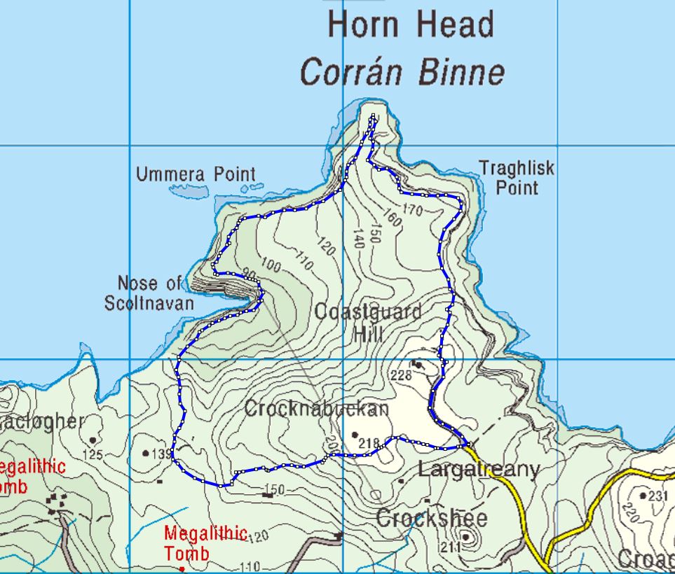 Cloghernagh Stone EnclosureEnclosure · 625 yd
 Trá Phoill a GhuillBeach / strand · 875 yd
 Cliffs near Pollaguill BayPublicly named cliff or headland · 1243 yd
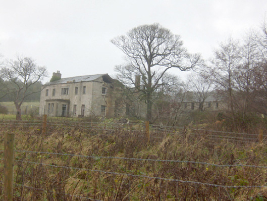 Horn Head Housecountry house · 1243 yd
 Mc Swyne's GunHeritage attraction · 1407 yd
 Hornhead Bridgebridge · 1661 yd
 Cliffs near ClagganPublicly named cliff or headland · 1.0 mi
 Tramore StrandBeach / strand · 1.3 mi
 Castle (Site of)Castle, unclassified · 1.4 mi
 CrocksheeMountain / peak · 1.6 mi
 Local Wildlife presentationVisitor information · 1.8 mi