What is recorded here
Identified on aerial photographs (CUCAP AJQ041, 9 July 1964; BOI020, 14 July 1970) as a field system (KK010-070002-) which is evident running northward from the enclosure (KK010-070001-) and its W annexe. The field system is not visible at ground level.
Compiled by: Jean Farrelly
Date of upload: 19 December 2018
The monument record does not grant public access. Check the route and ask the landowner before entering private land.
- What survives
- Recorded monument
Places near here
 Enclosure in Clintstown (fassadinin By.)Enclosure · 63 yd
 IndicatedCastle, unclassified · 438 yd
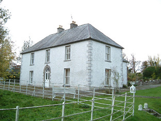 Lismaine Housefarm house · 834 yd
 Castle (in Ruins)Castle, tower house · 890 yd
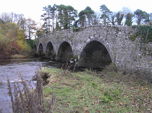 Lismaine Bridgebridge · 997 yd
 Enclosure in BrackinEnclosure · 1128 yd
 Graveyard in ThreecastlesGraveyard · 2.0 mi
 Jenkinstown ParkWood · 2.0 mi
 Turkey OakTurkey Oak · 2.2 mi
 Emma Jane Browne-ClaytonMemorial · 2.7 mi
 Freshford LoopWalking route · 3.2 mi
 Anker's IslandIsland · 5.1 mi