What is recorded here
Situated on slight S-facing slope in pasture extending over c. 20 acres. Relict field banks are visible in aerial photograph and shown as field boundaries on the 1913 edition of the OS 6-inch. All of the relict field banks have been levelled and no trace is visible at ground. The field system consisted of a series of low earth and stone banks (av. dims. Wth 2m; H 0.5m) enclosing irregular shaped fields from 0.25-3 acres in size.
Compiled by: Patrick F. O'Donovan
Date of upload: 19 January 2011
The monument record does not grant public access. Check the route and ask the landowner before entering private land.
- What survives
- Recorded monument
Places near here
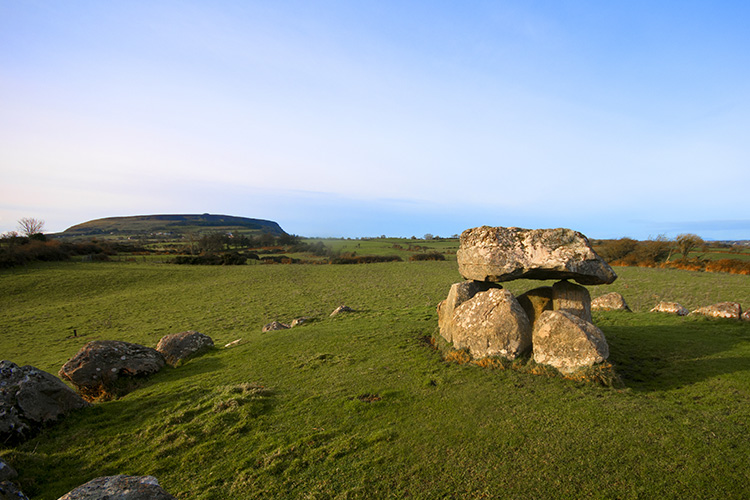 Megalithic structure in CarrowgilhoolyMegalithic structure · 653 yd
 Enclosure in ArdabroneEnclosure · 658 yd
 Bawn in CarrowbrickeenBawn · 1.0 mi
 BawnmoyleRuins · 1.0 mi
 Saint Adamnan's Catholic Churchchurch/chapel · 1.1 mi
 CastleCastle, ringwork · 1.5 mi
 Giant's GraveArchaeological place · 1.6 mi
 Derkmore PointHeadland · 1.9 mi
 Lahanacappul IslandIslet · 2.0 mi
 Portavaud PointHeadland · 2.1 mi
 Dunmoran StrandBeach / strand · 2.3 mi
 Valley WoodForest · 2.4 mi