What is recorded here
In level pastureland and rock outcrop. A series of low stony banks cover an area of c. 400m
by c. 350m. Two possible rectangular houses (avg. L 11.4m; Wth 4.5m; GA084-043004- and GA084-043005-) and a small square enclosure (L/Wth 10m; GA084-043006-) lie within NE quadrant. In NW quadrant is an irregular enclosure (L 30m; Wth 20m; GA084-043007-). Two enclosures (GA084-043001- and GA084-043003-) lie within S half and another field system (GA084-040002-) lies immediately to E.
Compiled by: Galway Archaeological Survey, UCG
Date of upload: 21 November 2016
The monument record does not grant public access. Check the route and ask the landowner before entering private land.
- What survives
- Recorded monument
Places near here
 IndicatedEnclosure · 285 yd
 Convent (in ruins)Castle, ringwork · 319 yd
 Field system in Carnaun (athenry By.)Field system · 339 yd
 RoadRoad, road/trackway · 384 yd
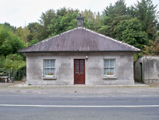 Castle Ellen Housegate lodge · 1492 yd
 Castle (in ruins)Castle, tower house · 1.1 mi
 First Battle of Athenrybattle · 2.1 mi
 Horse-chestnutHorse-chestnut · 2.4 mi
 The HazelWood · 2.5 mi
 Athenry CastleHeritage attraction · 2.7 mi
 Athenry AbbeyHeritage attraction · 2.8 mi
 Rabbit IslandIslet · 10 mi