What is recorded here
Located on a gentle S-facing slope. Earthworks of relict field banks and drains covering an area of about 12 acres (c. 5 ha) are visible on aerial photographs (GSIAP: N 605, 606) and some later series. The banks (Wth c. 2m; H c. 0.3m) and ditches (Wth c. 1-2m; D c. 0.2m) create some irregular fields (dims c. 60m x c. 30m to c. 100m x c. 70m) which are covered in cultivation ridges confined to individual fields. There are some wide linear spaces (Wth c. 5-10m) between fields that might be roadways. The defining features are best preserved at the SW angle of the area and some modern houses impinge on it. Archaeological testing (04E0764) by S. Linnane at the S edge of the area produced no related material (excavations.ie 2004:1193).
The above description is derived from the published 'Archaeological Inventory of County Meath' (Dublin: Stationery Office, 1987). In certain instances the entries have been revised and updated in the light of recent research.
Compiled by: Michael Moore
Date of revision: 27 August 2019
Amended: 9 June 2021
The monument record does not grant public access. Check the route and ask the landowner before entering private land.
- What survives
- Recorded monument
Places near here
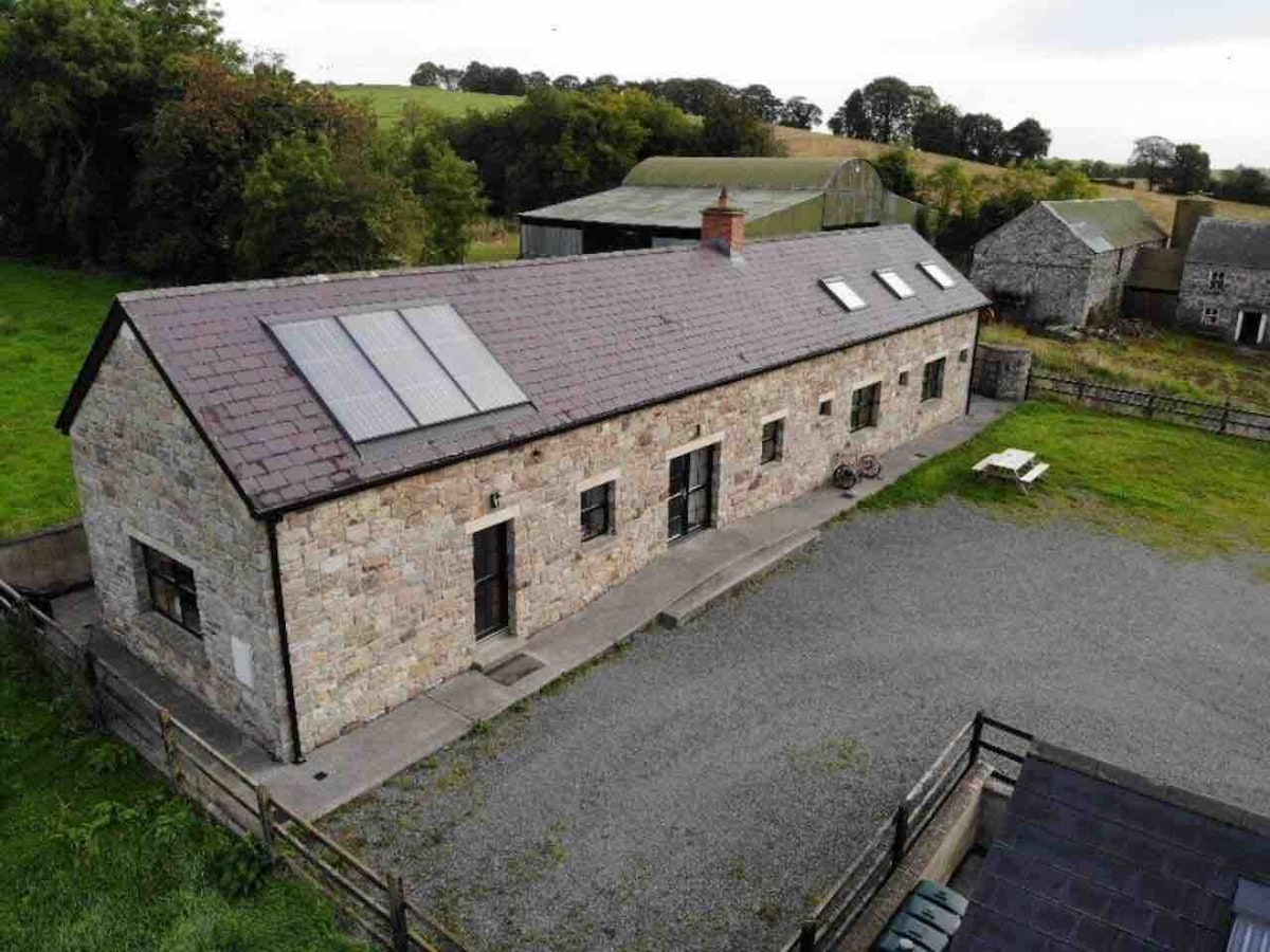 Enclosure in CalgathEnclosure · 407 yd
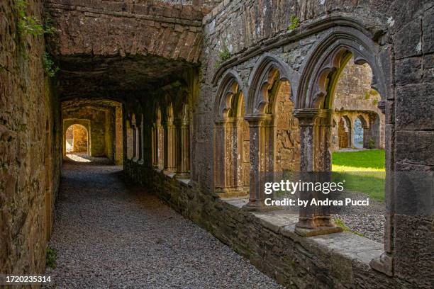 Brides WellHoly well · 716 yd
 Rodanstown fortCastle, motte · 946 yd
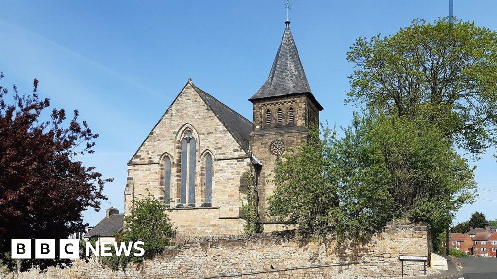 Church (Disused)Church · 1561 yd
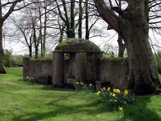 Larchill Housefolly · 1.1 mi
 Larchil Arcadian GardensHeritage attraction · 1.5 mi
 Mulhussy CastleCastle, tower house · 1.7 mi
 Kilgar GardensHeritage attraction · 2.2 mi
 Mass was there in Penal TimesMemorial · 2.7 mi
 Amicus AmericanisMemorial · 3.4 mi
 European ashEuropean ash · 3.6 mi
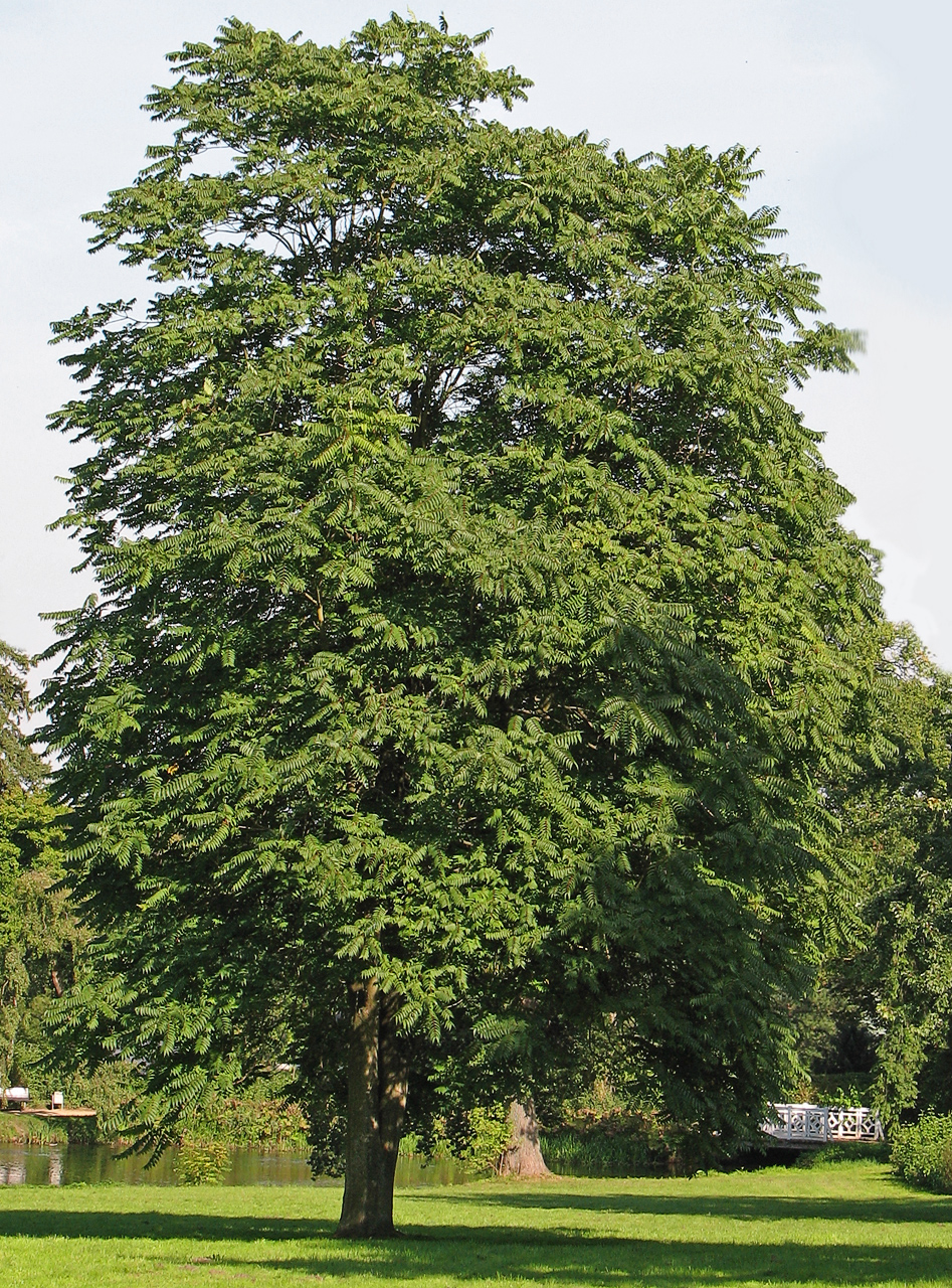 Tree of HeavenTree of Heaven · 3.7 mi