What is recorded here
In pasture in undulating terrain, adjacent to Brees castle, an Anglo-Norman masonry castle (MA091-10----).
Fragmentary remains of a grid of rectilinear fields extend over an area of c. 200m N−S by c. 170m E−W. The intact outline of at least four individual fields (max dim. 45-50m) can still be traced. The fields are defined by drystone walls, now ruined and grassed over, and enclose relict cultivation ridges on a roughly NE−SW axis. Brees castle occupies a prominent knoll towards the SE extent to the field system. While it is possible that some of the field walls may be contemporary with the castle, it seems more likely that the field system relates to an 18th/19th-century farmstead, which was located c. 30m N of the castle and is shown on the 1838 and 1920 OS 6-inch maps.
Compiled by: Jane O’Shaughnessy
Date of upload: 7 February 2022
The monument record does not grant public access. Check the route and ask the landowner before entering private land.
- What survives
- Recorded monument
Places near here
 Enclosure in BreesEnclosure · 185 yd
 CastleCastle, ringwork · 347 yd
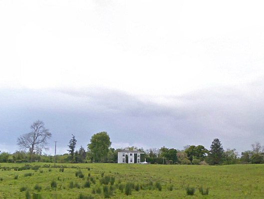 Cloonboy Housefarm house · 1685 yd
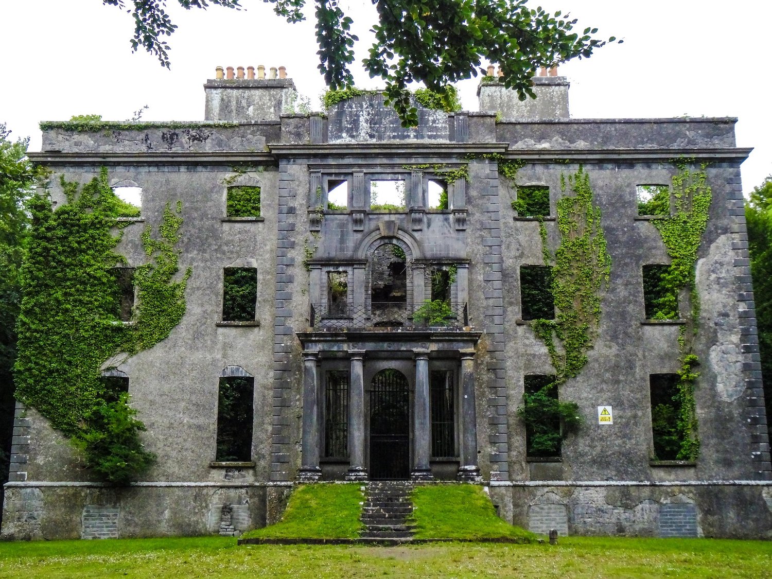 Enclosure in An Goirtín MórEnclosure · 1.1 mi
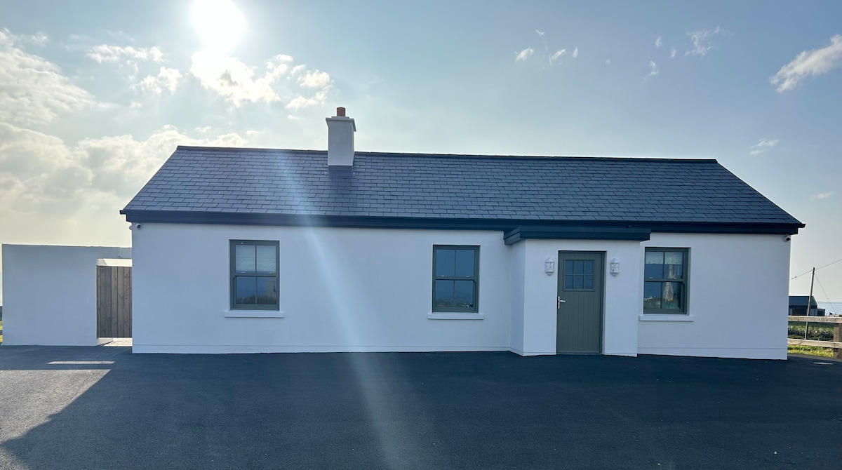 Bawn in KnockaunakillBawn · 1.3 mi
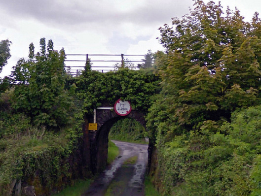 bridgebridge · 1.8 mi
 Carrowbeg WoodWood · 4.1 mi
 Land of the GiantsHeritage attraction · 5.0 mi
 Kiltimagh MuseumMuseum · 5.8 mi
 Geoffrey's WoodForest · 6.9 mi
 Cow IslandIslet · 9.9 mi
 Crane IslandIslet · 10 mi