What is recorded here
Most of the drainage channels extend NW-SE perpendicularly from the road. Outside the metalled area furrows extended SE. Outside the core area and its defining ditches three small fields or paddocks were identified NE of House 1. Plot 1 (20m NE-SW; 12m NW-SE) was adjacent to the road. Its SW side was formed by the metalled area around House 1. Plot 2 (dims 30m NE-SW; 10m NW-SE) was attached to the SE of Plot 1, and Plot 3 (dims c. 14m NE-SW; c. 12m NW-SE) was attached to the SE of Plot 2. All were comparatively free of internal features. In a second phase the plots were foreshortened at NE by a drain on the same alignment as the original boundary here but placed c. 5-6m to the SW. An articulated human supine burial was excavated from the silts at the bottom of this ditch which must have been inserted. It was in poor condition but was the remains of an adult male aged 26-35 years at the time of death, and provided a C14 date of AD 1420-1490 cal. AD (Beta 250960), demonstrating that the ditch was at least partially closed by the fifteenth century. (Martin 2009, 27-31, 59-60)
See the attached site plan from Martin (2009, fig. 10)
Compiled by: Michael Moore
Date of upload: 12 April 2023
Fairburn, N. 2004 M3 Clonee-North of Kells. Contract 3 – Navan Bypass. Report on Archaeological Assessment at Testing Area 7, Boyerstown, County Meath. Licence: 04E0580. Unpublished report, Archaeological Consultancy Services
Martin, K. 2009 M3 Clonee-North of Kells. Contract 3 – Navan Bypass. Report on the Archaeological Excavation of Boyerstown 1, Co. Meath. Licence: E003105. Final Unpublished report, Archaeological Consultancy Services
The monument record does not grant public access. Check the route and ask the landowner before entering private land.
- What survives
- Recorded monument
Places near here
 Enclosure in BoyerstownEnclosure · 472 yd
 Field boundary in ArdbraccanField boundary · 1012 yd
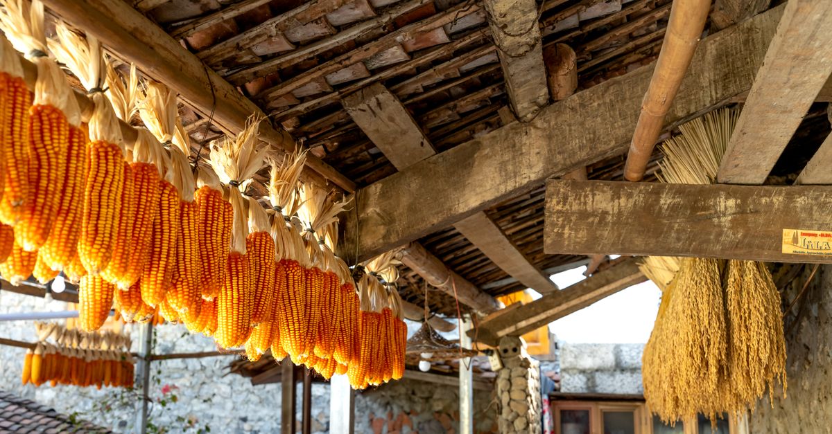 KilnKiln, corn-drying · 1594 yd
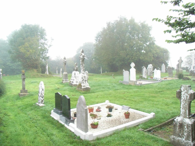 Church (in Ruins)Church · 1.4 mi
 BohermeenMountain / peak · 1.8 mi
 DurhamstownMountain / peak · 1.8 mi
 The New Line RoadMemorial · 2.0 mi
 Nangle CourtMemorial · 2.7 mi
 Wych ElmWych Elm · 3.1 mi
 Fox CovertWood · 3.5 mi
 Assey CastleCastle, tower house · 3.6 mi
 Donaghmore Round TowerHeritage attraction · 3.9 mi