What is recorded here
Located in a slight hollow in a fairly level landscape with a small and meandering NE-SW stream forming its W edge. It was first recorded on an aerial photograph by L. Swan c. 1970 and the features are also visible on vertical images (GSIAP: N 267-8). Their visible profile had been removed by 1984 (SMR file), although traces of features might still be visible on Google Earth (14/11/2019). An area of about 3.3 ha (c. 8.5 acres) has grass-covered earthwork banks and ditches creating some small plots (dims c. 50m x c. 20-30m) with some platforms that might be house sites. There are also some old quarries.
See the attached image (_01) from the L. Swan collection:“Oblique aerial photograph taken by Leo Swan of Boolies, County Meath.,” accessed March 12, 2023, http://lswanaerial.locloudhosting.net/items/show/32280
(_02) from Google Earth
The above description is derived from the published 'Archaeological Inventory of County Meath' (Dublin: Stationery Office, 1987). In certain instances the entries have been revised and updated in the light of recent research.
Compiled by: Michael Moore
Date of upload: 10 July 2007
Revised: 24 March 2023
GSIAP – Geological Survey of Ireland Aerial Photographs (c. 1973). Geological Survey, Beggars Bush, Haddington Rd., Dublin 4.
SMR file – Sites and Monuments Record files in the National Monuments Service, Department of Housing, Local Government and Heritage
The monument record does not grant public access. Check the route and ask the landowner before entering private land.
- What survives
- Recorded monument
Places near here
 St. Annes ChapelChurch · 841 yd
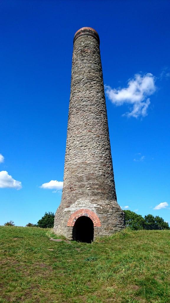 St. Annes WellHoly well · 858 yd
 Randalstown HseCastle, unclassified · 1059 yd
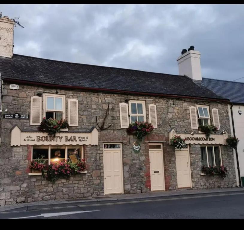 ToberdoneyHoly well · 1732 yd
 sexton's housesexton's house · 1.1 mi
 Liscartan CastleCastle, tower house · 1.6 mi
 Gibbstown House EntranceWood · 1.6 mi
 Nangle CourtMemorial · 2.4 mi
 Faughan HillMountain / peak · 3.2 mi
 Donaghmore Round TowerHeritage attraction · 3.2 mi
 TuliptreeTuliptree · 3.3 mi
 The New Line RoadMemorial · 3.5 mi