What is recorded here
In reclaimed pasture in gently undulating terrain.
Not shown on any edition of the OS 6-inch maps. Visible in aerial photographs (SMR file: CUCAP AYR 85 & 86; SMR file). Low stony banks (H 0.4-0.9m) define three contiguous subrectangular plots (25-50m max. dim.), immediately E of an enclosure (MA119-004002-). These appear to be the fragmentary remains of a field system pre-dating the larger, present-day rectilinear fields. The aerial photographs suggest that the field system originally extended further to S and W, but was removed by land reclamation works.
Compiled by: Jane O’Shaughnessy
Date of upload: 30 May 2023
The monument record does not grant public access. Check the route and ask the landowner before entering private land.
- What survives
- Recorded monument
Places near here
 Enclosure in Boleymeelagh,cregduff (kilmaine By., Kilcommon Par.)Enclosure · 170 yd
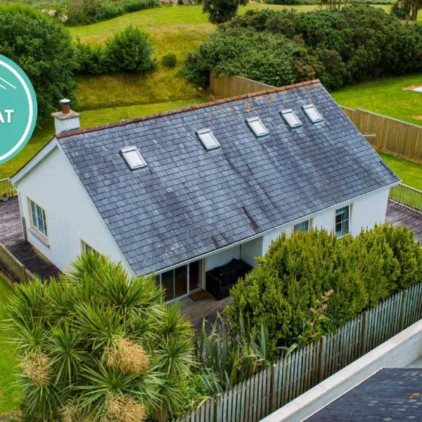 IndicatedFairy fort / earthen ringfort · 592 yd
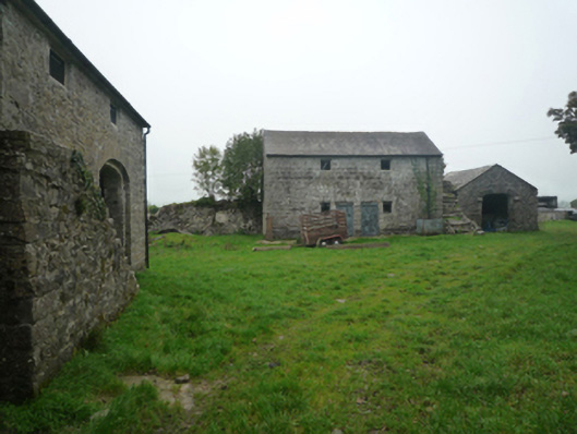 Bushfieldfarmyard complex · 1065 yd
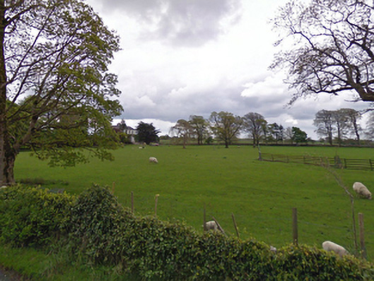 rectory/glebe/vicarage/curate's houserectory/glebe/vicarage/curate's house · 1120 yd
 Castle in ruinsCastle, unclassified · 2.1 mi
 Bunacrower CastleCastle · 2.3 mi
 SycamoreSycamore · 3.6 mi
 European YewEuropean Yew · 4.1 mi
 Mass RockNamed rock · 9.4 mi
 Red Island RockIslet · 11 mi
 School of FalconryHeritage attraction · 11 mi
 Oileán na nAnamIslet · 11 mi