What is recorded here
On a S-facing slope in pasture. Excavated in 2006-7 in advance of the N9/N10 Kilcullen to Waterford Road Improvement Scheme. Excavation licence no. 2517, AR053-4, Area B, C, D, E. One of a cluster of monuments found in close proximity to each other in an area c. 1.8ha with dates ranging from the Late Neolithic to the early medieval period. A series of field boundaries extend up to a ringfort (KK031-082----) and radiating out from it. The lines of these boundaries are partially preserved by the existing boundaries. The boundaries were both linear and curvilinear with narrow causeways forming entrances. One such entrance was aligned with the E entrance of the ringfort. No physical evidence of banks survived prior to excavation but in some cases the location of banks could be suggested by both stratigraphy and the arrangement of ditch terminals at the various entrances/ gateways. The excavations did not produce any evidence of fortified gateways, although the narrow causeway passages could have had some defensive function. None of the fills were dated due to presumed water movement within. Some boundaries extended outside the limits of the excavation to the W, SW, E and SE. (Channing 2009, 255-6, no. 1003; 2010a, 234, no. 881; 2010b)
Compiled by: Mary Tunney
Date of upload: 25 September 2013
The monument record does not grant public access. Check the route and ask the landowner before entering private land.
- What survives
- Recorded monument
Places near here
 BaysrathArchaeological place · 182 yd
 farm housefarm house · 216 yd
 Church in ruinsChurch · 506 yd
 Sheepstown Castle (site of)Archaeological place · 985 yd
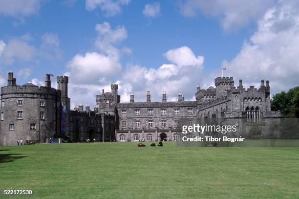 Danganbeg Castle (Site of)Castle, unclassified · 1218 yd
 Ballyboodan RingfortArchaeological place · 1293 yd
 Church (in Ruins), GraveyardChurch · 1.5 mi
 Turkey OakTurkey Oak · 1.6 mi
 Graveyard in DerrynahinchGraveyard · 2.3 mi
 Castlemorris Pheasant LoopWalking route · 2.5 mi
 Castlemorris WoodForest · 2.5 mi
 Kells Augustinian PrioryHeritage attraction · 3.6 mi