What is recorded here
'No trace of this recorded field system can be traced on the ground , though this may be due to the fact that the lands here have undergone considerable reclaimation and field amalgamation since the mid 1990's. Aerial photography shows the line of now destroyed field boundaries but those visible are as shown on the OS 1939 Edition maps and are unlikely to be of any considerable age. Aerial does note the presence of a previously unrecorded crop mark enclosure (KE029-227002-), partially within the RMP constraint of the field system at its south-east corner. The enclosure appears to have been univallate and approximately 40m in diameter. The enclosure recorded in the Record of Monuments & Places to the east, partially within the constraint of the field system, KE029-147----, is destroyed and no trace can be seen at ground level. A possible crop mark enclosure (KE029-227002-) is visible on aerial photography where it appears to be univallate and approximately 58m in diameter. The large previously unrecorded enclosure KE029-275----, described below is immediately south of these sites.'
Description from ‘The Prehistoric Settlement of the Lee Valley, Tralee, Co. Kerry; A Landscape Perspective’ by Michael Connolly. PhD Thesis UCC 2008
Date of upload: 22 June 2012
This remains an important historical record, but the official description says the monument is no longer visible or has been destroyed. The monument record does not grant public access. Check the route and ask the landowner before entering private land.
- What survives
- No visible remains or recorded as destroyed
Places near here
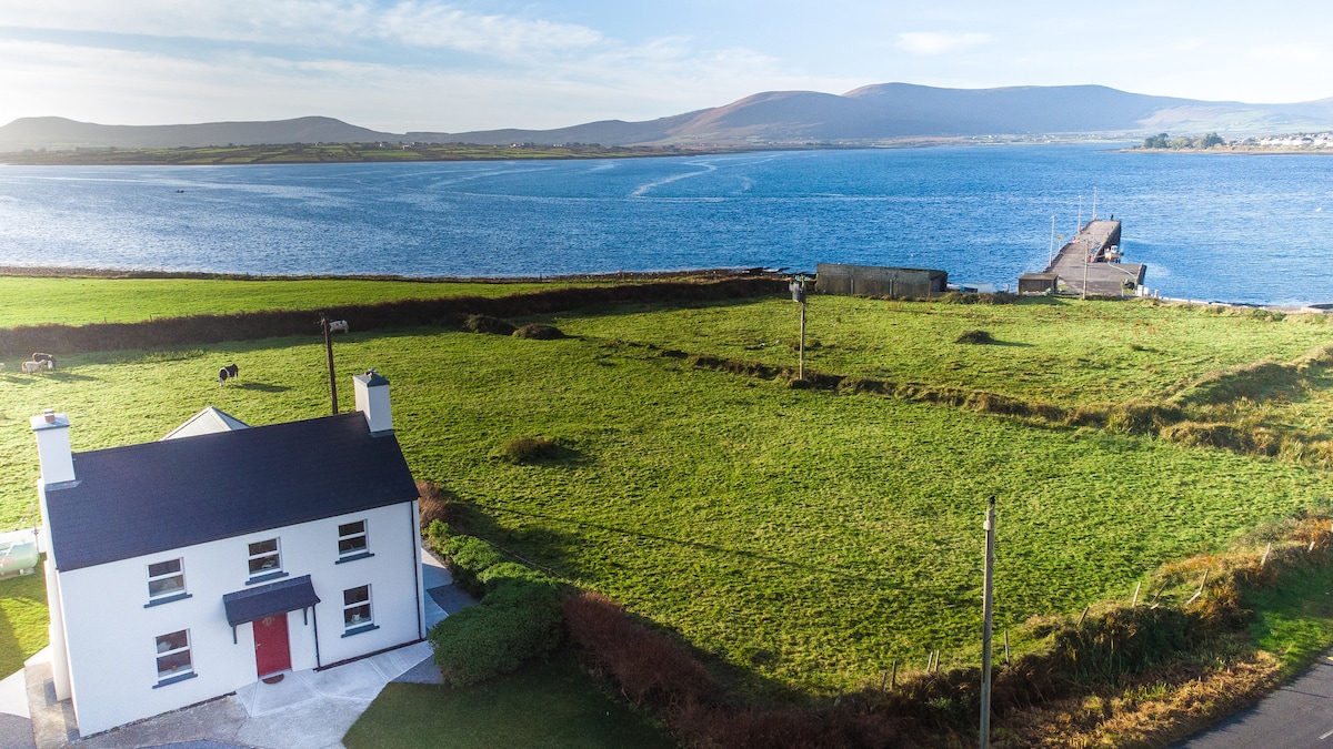 Enclosure in BarrakillaEnclosure · 339 yd
 Man-made underground passage in Barrakilla,tonreagh Upper,tullygarranMan-made underground passage · 764 yd
 KilnKiln, lime · 1427 yd
 CastleCastle, tower house · 1.3 mi
 PouldermotCave · 1.3 mi
 Poulclashcannon (blocked)Cave · 1.3 mi
 TempleoneChurch · 1.3 mi
 Site of McElligotts CastleCastle, unclassified · 1.4 mi
 Common AlderCommon Alder · 1.9 mi
 Ballyseedy WoodWood · 2.0 mi
 CruslineMountain / peak · 2.2 mi
 Ballincollig HillMountain / peak · 2.2 mi